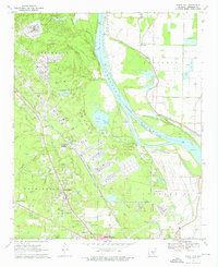
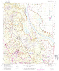
1970 Map of White Hall
USGS Topo · Published 1976About this map
The Pine Bluff Arsenal dominates this 1970 landscape, showcasing a massive military and industrial complex integrated into the wetlands and bluffs above the Arkansas River. The facility's sprawling footprint includes the Arsenal Headquarters, its own dedicated U.S. Government Railroad, and multiple security points like the Plainview Gate and Warbritton Gate. This concentration of government infrastructure is flanked by growing residential areas like White Hall, Henslee Heights, and Oakland Heights, illustrating the mid-century suburban expansion tied to local employment hubs.
Find a feature on this map
55 named features on this map. Tap any name to fly to it.
Don’t see what you’re looking for? This feature index may not catch every label — zoom into the map to look around manually.
Map Details
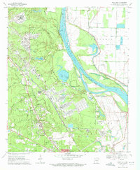
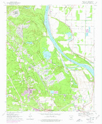
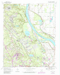
Editions of this 1970 White Hall Map
6 editions found
Other maps of this area

1932 · Pastoria
USGS Topo · 1:62,500

1935 · Altheimer
USGS Topo · 1:62,500

1935 · Pastoria
USGS Topo · 1:62,500

1935 · Noble Lake
USGS Topo · 1:62,500

1948 · Helena
USGS Topo · 1:250,000

1950 · Helena
USGS Topo · 1:250,000

1955 · Helena
USGS Topo · 1:250,000

1955 · Little Rock
USGS Topo · 1:250,000

1956 · Little Rock
USGS Topo · 1:250,000

1959 · Helena
USGS Topo · 1:250,000