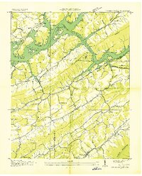
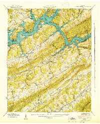
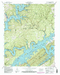
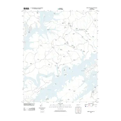
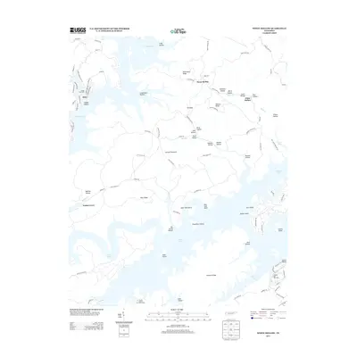
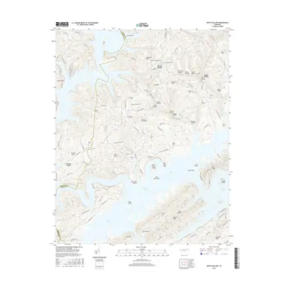
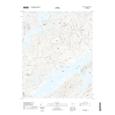
1936 Map of White Hollow
USGS Topo · Published 1936About this map
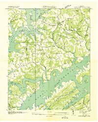
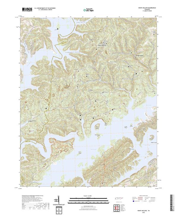
Norris Reservoir dominates the landscape of this 1936 survey, its rising waters filling the intricate network of valleys between Dividing Ridge and Chestnut Ridge. This Tennessee Valley Authority advance sheet documents a moment of profound transformation as the new reservoir inundates traditional rural drainage systems like Mill Creek and Clear Creek. The map serves as a vital record for genealogists, preserving the locations of numerous family and community landmarks such as Lays Cem, Mc Carty Cem, and Stout Cem before modern shoreline changes.
Find a feature on this map
54 named features on this map. Tap any name to fly to it.
Don’t see what you’re looking for? This feature index may not catch every label — zoom into the map to look around manually.
Map Details
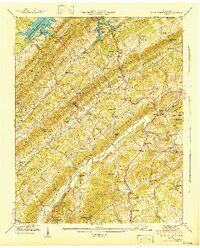
Editions of this 1936 White Hollow Map
This is the sole edition of this map. No revisions or reprints were ever made.
Historical Maps of Alder Through Time
33 maps found
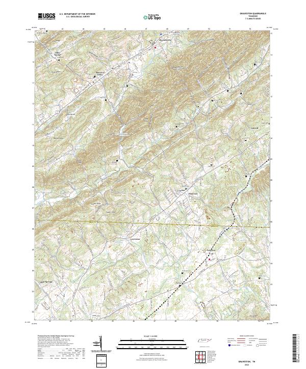
1935 Graveston
Union County, TN
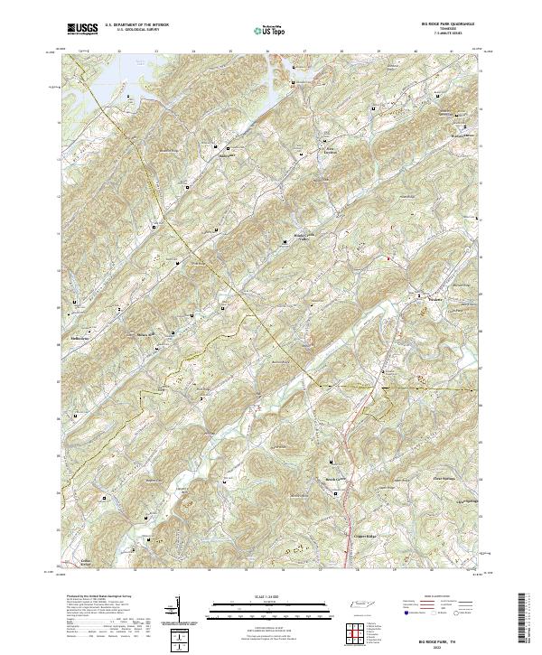
1936 Big Ridge Park
Union County, TN
1936 Mc Lean Rock
Union County, TN
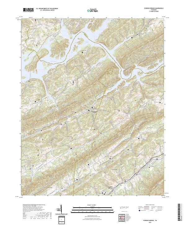
1936 Powder Springs
Union County, TN
1936 White Hollow
Union County, TN
1941 Big Ridge Park
Union County, TN
1941 Graveston
Union County, TN
1941 White Hollow
Union County, TN
1942 Powder Springs
Union County, TN
1952 Big Ridge Park
Union County, TN
1952 Graveston
Union County, TN
1952 Powder Springs
Union County, TN
1952 White Hollow
Union County, TN
2010 Big Ridge Park
Union County, TN
2010 Graveston
Union County, TN
2010 Powder Springs
Union County, TN
2010 White Hollow
Union County, TN
2013 Big Ridge Park
Union County, TN
2013 Graveston
Union County, TN
2013 Powder Springs
Union County, TN
2013 White Hollow
Union County, TN
2016 Big Ridge Park
Union County, TN
2016 Graveston
Union County, TN
2016 Powder Springs
Union County, TN
2016 White Hollow
Union County, TN
2019 Big Ridge Park
Union County, TN
2019 Graveston
Union County, TN
2019 Powder Springs
Union County, TN
2019 White Hollow
Union County, TN
2022 Big Ridge Park
Union County, TN
2022 Graveston
Union County, TN
2022 Powder Springs
Union County, TN
2022 White Hollow
Union County, TN