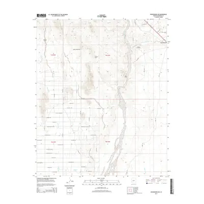
2014 Map of Wickenburg SW
USGS Topo · Published 2014About this map
Morristown sits at the junction of Us-60 and Az-74 in this 2014 survey of the desert landscape northwest of Buckeye. The geography is defined by the prominent Vulture Mountains and the wide, braided course of the Hassayampa River, which flows southward through the center of the sheet. Distinctive geological landmarks like Natural Arch, Vulture Arch, and Red Cliff are noted among the rising elevations.
Find a feature on this map
48 named features on this map. Tap any name to fly to it.
Don’t see what you’re looking for? This feature index may not catch every label — zoom into the map to look around manually.
Map Details
Editions of this 2014 Wickenburg SW Map
This is the sole edition of this map. No revisions or reprints were ever made.
Other maps of this area

1954 · Phoenix
USGS Topo · 1:250,000

1957 · Phoenix
USGS Topo · 1:250,000

1957 · White Tank Mts. NE
USGS Topo · 1:24,000

1957 · White Tank Mts.
USGS Topo · 1:62,500

1958 · Phoenix
USGS Topo · 1:250,000

1960 · Phoenix
USGS Topo · 1:250,000

1961 · Vulture Mountains
USGS Topo · 1:62,500

1962 · Belmont Mts
USGS Topo · 1:62,500
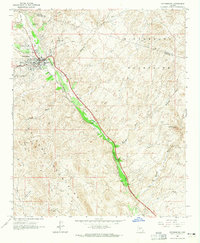
1964 · Wickenburg
USGS Topo · 1:24,000
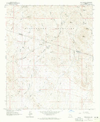
1964 · Red Picacho
USGS Topo · 1:24,000