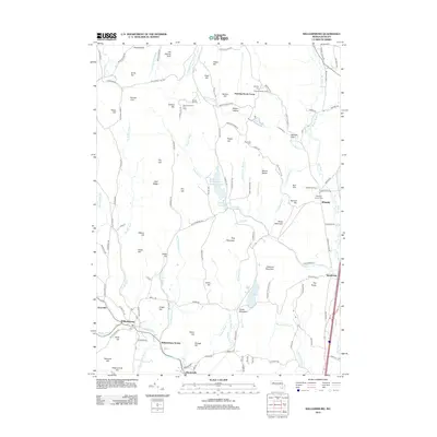
2012 Map of Williamsburg
USGS Topo · Published 2012About this map
Mill River flows through the heart of this hill country landscape, anchoring the historic villages of Williamsburg and Haydenville. The map illustrates a developed network of rural infrastructure, from the Williamsburg Station to agricultural landmarks like Birchmere Farm and Dairy and Quontquont Farm. Higher elevations are defined by a series of prominent peaks and gaps, including Hog Mountain, Mount Esther, and the notable Joe Herrick Gulf.
Find a feature on this map
139 named features on this map. Tap any name to fly to it.
Don’t see what you’re looking for? This feature index may not catch every label — zoom into the map to look around manually.
Map Details
Editions of this 2012 Williamsburg Map
This is the sole edition of this map. No revisions or reprints were ever made.
Other maps of this area

1885 · Northampton
USGS Topo · 1:62,500

1886 · Hawley
USGS Topo · 1:62,500

1886 · Chesterfield
USGS Topo · 1:62,500

1886 · Northampton
USGS Topo · 1:62,500

1888 · Chesterfield
USGS Topo · 1:62,500

1890 · Hawley
USGS Topo · 1:62,500

1890 · Greenfield
USGS Topo · 1:62,500

1891 · Northampton
USGS Topo · 1:62,500

1893 · Northampton
USGS Topo · 1:62,500

1893 · Chesterfield
USGS Topo · 1:62,500