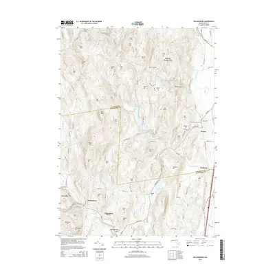
2015 Map of Williamsburg
USGS Topo · Published 2015About this map
Williamsburg and Haydenville anchor the southern portion of this landscape, where the Mill River and its various branches have long shaped the valley's settlement and industry. The terrain is marked by a complex network of brooks and reservoirs, including the Northampton Reservoir Upper and Mountain Street Reservoir, which sit among significant elevations like Horse Mtn and Chestnut Mtn. Historically significant waypoints like Williamsburg Station and the rural outpost of Poland Gate suggest the older transit patterns and local centers that once dotted these hills.
Find a feature on this map
107 named features on this map. Tap any name to fly to it.
Don’t see what you’re looking for? This feature index may not catch every label — zoom into the map to look around manually.
Map Details
Editions of this 2015 Williamsburg Map
This is the sole edition of this map. No revisions or reprints were ever made.
Other maps of this area

1885 · Northampton
USGS Topo · 1:62,500

1886 · Hawley
USGS Topo · 1:62,500

1886 · Chesterfield
USGS Topo · 1:62,500

1886 · Northampton
USGS Topo · 1:62,500

1888 · Chesterfield
USGS Topo · 1:62,500

1890 · Hawley
USGS Topo · 1:62,500

1890 · Greenfield
USGS Topo · 1:62,500

1891 · Northampton
USGS Topo · 1:62,500

1893 · Northampton
USGS Topo · 1:62,500

1893 · Chesterfield
USGS Topo · 1:62,500