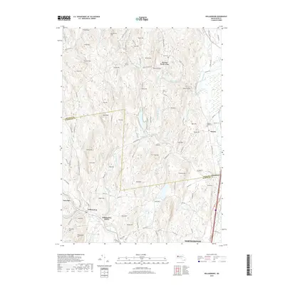
2018 Map of Williamsburg
USGS Topo · Published 2018About this map
Williamsburg and the neighboring village of Searsville occupy the Mill River valley, reflecting a settlement pattern deeply tied to the region’s complex water network. The landscape is defined by a dense concentration of ridges and peaks, such as High Ridge and Spruce Hill, which funnel numerous tributaries like Nungee Brook and Beaver Brook toward the valley floor. The presence of Williamsburg Station underscores the historical importance of transit in this corner of Hampshire County, while multiple burial grounds, including Cricket Hill Cem and Whately Center Cem, provide critical points of interest for genealogical research. Higher elevations are marked by the Northampton Reservoir and Roaring Brook Reservoir, illustrating the mid-century infrastructure required to support the growing population in the surrounding townships. The boundary between Franklin and Hampshire counties cuts through these highlands, separating the western hill towns from the eastern settlement of Whately.
Find a feature on this map
122 named features on this map. Tap any name to fly to it.
Don’t see what you’re looking for? This feature index may not catch every label — zoom into the map to look around manually.
Map Details
Editions of this 2018 Williamsburg Map
This is the sole edition of this map. No revisions or reprints were ever made.
Other maps of this area

1885 · Northampton
USGS Topo · 1:62,500

1886 · Hawley
USGS Topo · 1:62,500

1886 · Chesterfield
USGS Topo · 1:62,500

1886 · Northampton
USGS Topo · 1:62,500

1888 · Chesterfield
USGS Topo · 1:62,500

1890 · Hawley
USGS Topo · 1:62,500

1890 · Greenfield
USGS Topo · 1:62,500

1891 · Northampton
USGS Topo · 1:62,500

1893 · Northampton
USGS Topo · 1:62,500

1893 · Chesterfield
USGS Topo · 1:62,500