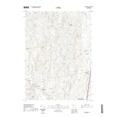
2021 Map of Williamsburg
USGS Topo · Published 2021About this map
The Mill River and its numerous tributaries, including Bloody Brook and Beaver Brook, define the drainage of this central Hampshire County landscape. The village of Williamsburg stands as a focal point near the southwestern corner, while Whately and the tiny settlement of Westbrook occupy the eastern edge near the Franklin County line. This area is characterized by a series of prominent peaks and ridges, such as Horse Mtn, Chestnut Mtn, and Petticoat Hill, which hem in a sophisticated system of water management including the Northampton Reservoir and Mountain Street Reservoir. Researchers can find several burial grounds reflecting early settlement patterns, notably the Old Village Hill Cem and Whately Center Cem. The presence of Williamsburg Station near the river indicates the historical importance of the valley's transportation corridor, while names like Guinea Gulf and The Rocks hint at the distinct local geography.
Find a feature on this map
133 named features on this map. Tap any name to fly to it.
Don’t see what you’re looking for? This feature index may not catch every label — zoom into the map to look around manually.
Map Details
Editions of this 2021 Williamsburg Map
This is the sole edition of this map. No revisions or reprints were ever made.
Other maps of this area

1885 · Northampton
USGS Topo · 1:62,500

1886 · Hawley
USGS Topo · 1:62,500

1886 · Chesterfield
USGS Topo · 1:62,500

1886 · Northampton
USGS Topo · 1:62,500

1888 · Chesterfield
USGS Topo · 1:62,500

1890 · Hawley
USGS Topo · 1:62,500

1890 · Greenfield
USGS Topo · 1:62,500

1891 · Northampton
USGS Topo · 1:62,500

1893 · Northampton
USGS Topo · 1:62,500

1893 · Chesterfield
USGS Topo · 1:62,500