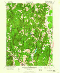
1948 Map of Williamsburg
USGS Topo · Published 1961About this map
Williamsburg and Haydenville anchor this 1940s survey of the western Massachusetts highlands, where the Mill River and Williamsburg Branch carve through a landscape of steep hills and narrow gulfs. The industrial character of the valley is evident at Brass Mill Pond and the Williamsburg Station, served by the New York, New Haven and Hartford Railroad. To the north, the terrain rises into the Conway State Forest, punctuated by family-named landmarks like Joe Herrick Gulf and Guinea Gulf.
Find a feature on this map
83 named features on this map. Tap any name to fly to it.
Don’t see what you’re looking for? This feature index may not catch every label — zoom into the map to look around manually.
Map Details
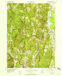
Editions of this 1948 Williamsburg Map
2 editions found
Other maps of this area

1885 · Northampton
USGS Topo · 1:62,500

1886 · Hawley
USGS Topo · 1:62,500

1886 · Chesterfield
USGS Topo · 1:62,500

1886 · Northampton
USGS Topo · 1:62,500

1888 · Chesterfield
USGS Topo · 1:62,500

1890 · Hawley
USGS Topo · 1:62,500

1890 · Greenfield
USGS Topo · 1:62,500

1891 · Northampton
USGS Topo · 1:62,500

1893 · Northampton
USGS Topo · 1:62,500

1893 · Chesterfield
USGS Topo · 1:62,500