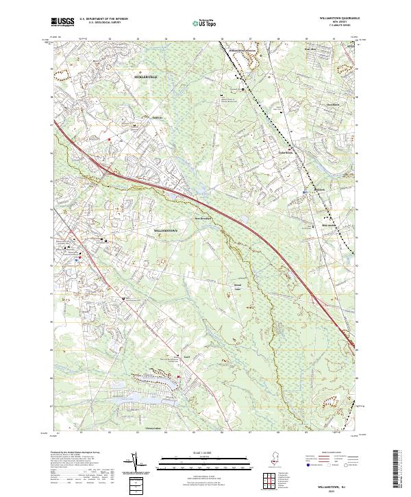
2023 Map of Williamstown
USGS Topo · Published 2023About this map
Williamstown and its surrounding communities are mapped here at the boundary of Camden Co and Gloucester Co. The landscape is defined by the headwaters and tributaries of the Great Egg Harbor River, including Ducks Nest Stream and the Squankum Branch. This area has long served as a residential and agricultural transition zone, evidenced by the high density of religious and burial sites such as the Williamstown Old Methodist Cem and the Saints Peter and Paul Ukrainian Catholic Cem near Cecil. The presence of Williamstown Junction and the community of Cedar Brook reflects the historical importance of regional transit corridors. To the south, the terrain softens into the wetland-rich area around Victory Lakes and the Hospitality Branch, where the Blue Hole remains a distinctive natural landmark amidst the pine-oak forests of southern New Jersey.
Find a feature on this map
253 named features on this map. Tap any name to fly to it.
Don’t see what you’re looking for? This feature index may not catch every label — zoom into the map to look around manually.
Map Details
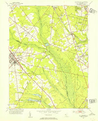
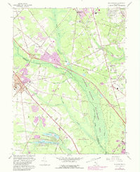
Editions of this 2023 Williamstown Map
This is the sole edition of this map. No revisions or reprints were ever made.
Historical Maps of Gloucester Township Through Time
3 maps found
Featured Locations
- Monroe Township, NJ
- Chesilhurst, NJ
- Winslow Township, NJ
- Williamstown, Monroe Township
- Sicklerville, Winslow Township