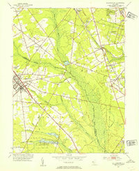
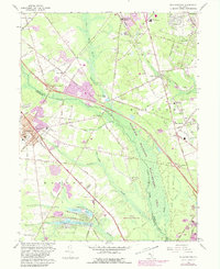
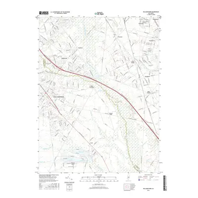
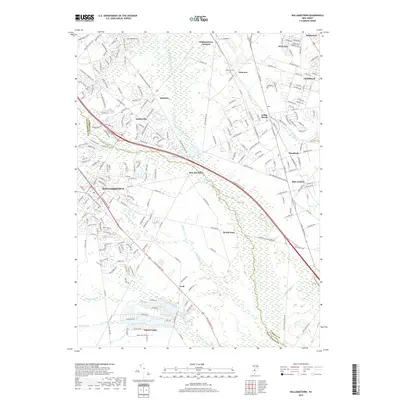
1953 Map of Williamstown
USGS Topo · Published 1954About this map
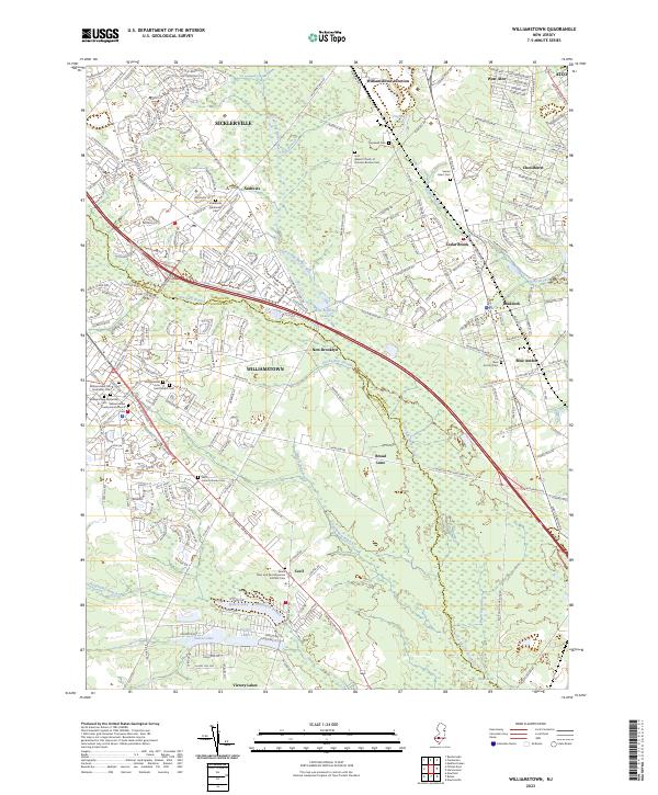
The Great Egg Harbor River carves a broad swampy corridor through the heart of this landscape, separating the agricultural and residential pockets of Gloucester and Camden counties. This mid-century view captures Williamstown and Sicklerville before modern suburban expansion, showing a region defined by its water resources and transportation corridors. The Pennsylvania-Reading Seashore Lines and Central RR Of NJ cross the terrain, supporting local industry and connecting settlements like Chesilhurst and Blue Anchor. To the south, a chain of water bodies including Sunset Lake, Victory Lakes, and Timber Lakes suggests a landscape transitioning from rural industry toward recreation. The presence of Sacred Heart Ch and Hopewell Cem provides anchor points for genealogists tracing family roots in the townships of Monroe and Winslow, while smaller landmarks like Taggart Siding and the Lookout Tower reflect the operational infrastructure of the era.
Find a feature on this map
47 named features on this map. Tap any name to fly to it.
Don’t see what you’re looking for? This feature index may not catch every label — zoom into the map to look around manually.
Map Details
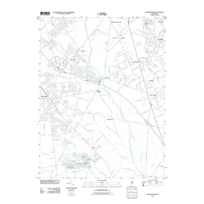
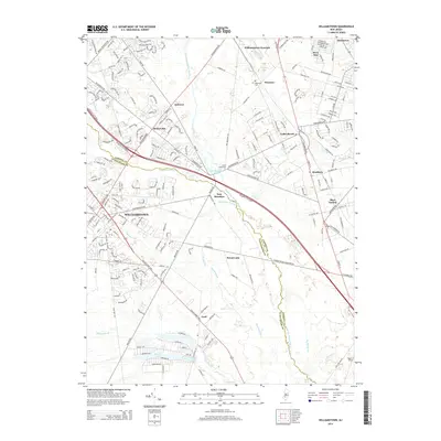
Editions of this 1953 Williamstown Map
This is the sole edition of this map. No revisions or reprints were ever made.
Historical Maps of Sicklerville Through Time
7 maps found
Featured Locations
- Monroe Township, NJ
- Chesilhurst, NJ
- Winslow Township, NJ
- Williamstown, Monroe Township
- Sicklerville, Winslow Township