2022 Map of Williamstown
USGS Topo · Published 2022About this map
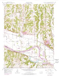
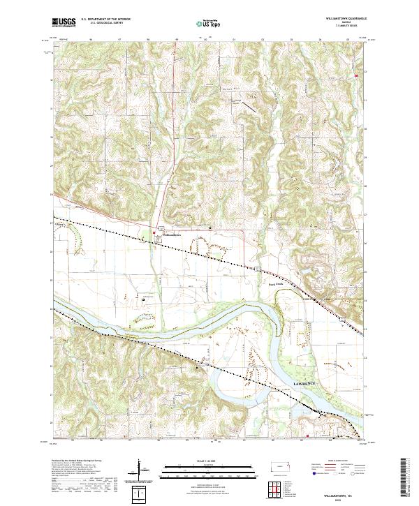
The Kansas River valley serves as the defining geographic feature of this northeastern Kansas landscape, marking the boundary between Jefferson and Douglas counties. This 2022 survey captures the rural character of the region, where the town of Williamstown and the community of Buck Creek are situated north of the river. The topography is shaped by numerous drainages, including W Stone House Cr, E Stone House Cr, and Stone Horse Cr, which flow south toward the main river channel. Local history and genealogy are anchored by several established burial grounds, such as Underwood Cem and Holliday Cem. The inclusion of Stonehenge Airport near Nolan Hill highlights the modern aviation infrastructure present alongside traditional agricultural lands, while the outskirts of Lawrence appear in the southeastern corner of the quadrangle.
Find a feature on this map
76 named features on this map. Tap any name to fly to it.
Don’t see what you’re looking for? This feature index may not catch every label — zoom into the map to look around manually.
Map Details
Editions of this 2022 Williamstown Map
This is the sole edition of this map. No revisions or reprints were ever made.