2024 Map of Williston
USGS Topo · Published 2024About this map
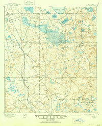
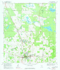
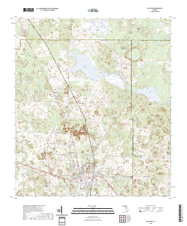
Williston serves as the central hub for this portion of the Florida interior, where the junction of multiple county routes meets the township lines of the Alachua, Levy, and Marion county borders. The landscape is defined by its distinct prairies and depressions, including the broad Horse Prairie and Priest Prairie, which contrast with the elevation of Orange Hill. For local historians and genealogists, the map reveals a high density of burial sites and rural communities, ranging from the established town of East Williston to smaller settlements like Raleigh and Hodgson. Significant genealogical markers are found at the George Washington Willis Family Cem and the Wacahoota Methodist Cem, illustrating the deep-rooted family legacy and religious foundations of these North Central Florida townships.
Find a feature on this map
32 named features on this map. Tap any name to fly to it.
Don’t see what you’re looking for? This feature index may not catch every label — zoom into the map to look around manually.
Map Details
Editions of this 2024 Williston Map
This is the sole edition of this map. No revisions or reprints were ever made.