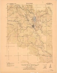
1922 Map of Willits
USGS Topo · Published 1922About this map
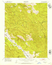
Willits serves as the central hub of this 1922 tactical survey, situated within the expansive Little Lake Valley. The landscape is defined by the convergence of the Northwestern Pacific Railroad and the California Western R.R. and Navigation Co., reflecting the era's heavy reliance on rail for timber and regional transport. To the west, the rails wind through steep terrain near Shake City and Soda Springs, while industrial activity is evidenced by the Old Saw Mill to the east.
Find a feature on this map
52 named features on this map. Tap any name to fly to it.
Don’t see what you’re looking for? This feature index may not catch every label — zoom into the map to look around manually.
Map Details
Editions of this 1922 Willits Map
This is the sole edition of this map. No revisions or reprints were ever made.
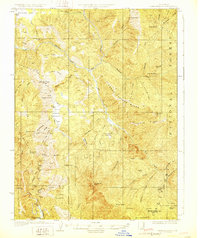
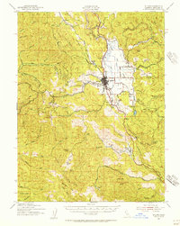
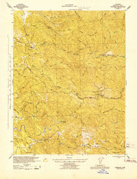
Other maps of this area

1920 · Glenblair
USGS Topo · 1:62,500

1920 · Ukiah
USGS Topo · 1:62,500

1921 · Branscomb
USGS Topo · 1:62,500
1929 · Eden Valley
USGS Topo · 1:62,500
1942 · Willits
USGS Topo · 1:62,500
1943 · Glenblair
USGS Topo · 1:62,500

1943 · Pomo
USGS Topo · 1:62,500
1943 · Boonville
USGS Topo · 1:62,500
1943 · Navarro
USGS Topo · 1:62,500

1944 · Ukiah
USGS Topo · 1:62,500