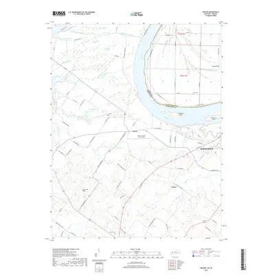
2019 Map of Wilson
USGS Topo · Published 2019About this map
The Ohio River meanders across this landscape, defining the state boundary between Kentucky and Indiana. On the Kentucky side, the settlement of Geneva and the western edge of Henderson serve as central points of activity, anchored by the Henderson City-County Airport. The low-lying terrain north of the river is a complex network of wetlands and seasonal water bodies, including Little Swan Pond Slough and Big Swan Pond Slough, reflecting a landscape managed for drainage and agriculture.
Find a feature on this map
79 named features on this map. Tap any name to fly to it.
Don’t see what you’re looking for? This feature index may not catch every label — zoom into the map to look around manually.
Map Details
Editions of this 2019 Wilson Map
This is the sole edition of this map. No revisions or reprints were ever made.
Other maps of this area

1906 · Sebree
USGS Topo · 1:62,500

1907 · Morganfield
USGS Topo · 1:62,500

1914 · Henderson
USGS Topo · 1:48,000

1916 · Henderson
USGS Topo · 1:62,500

1917 · Uniontown
USGS Topo · 1:62,500

1949 · Poole
USGS Topo · 1:24,000

1949 · Robards
USGS Topo · 1:24,000

1951 · Poole
USGS Topo · 1:24,000

1951 · Waverly
USGS Topo · 1:24,000

1951 · Robards
USGS Topo · 1:24,000