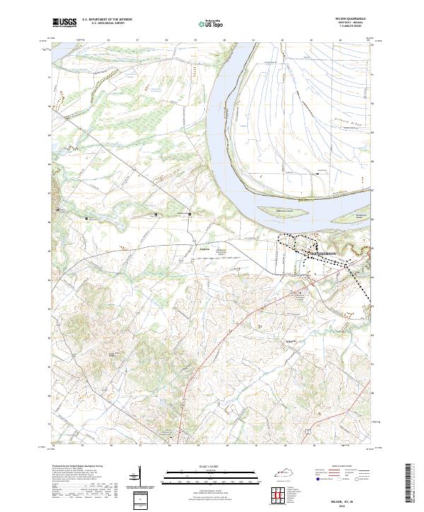
2022 Map of Wilson
USGS Topo · Published 2022About this map
The Ohio River carves a sweeping path along the Kentucky and Indiana border, defining a landscape of low-lying wetlands and elevated ridges. This riverfront territory includes the major settlement of Henderson, alongside the smaller communities of Geneva and Wilson. The northern floodplain is dominated by an intricate network of sloughs, including Deep Slough, Saurer Slough, and Muddy Slough, indicating a terrain heavily influenced by seasonal water levels.
Find a feature on this map
84 named features on this map. Tap any name to fly to it.
Don’t see what you’re looking for? This feature index may not catch every label — zoom into the map to look around manually.
Map Details
Editions of this 2022 Wilson Map
This is the sole edition of this map. No revisions or reprints were ever made.
Other maps of this area

1906 · Sebree
USGS Topo · 1:62,500

1907 · Morganfield
USGS Topo · 1:62,500

1914 · Henderson
USGS Topo · 1:48,000

1916 · Henderson
USGS Topo · 1:62,500

1917 · Uniontown
USGS Topo · 1:62,500

1949 · Poole
USGS Topo · 1:24,000

1949 · Robards
USGS Topo · 1:24,000

1951 · Poole
USGS Topo · 1:24,000

1951 · Waverly
USGS Topo · 1:24,000

1951 · Robards
USGS Topo · 1:24,000