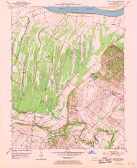
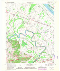
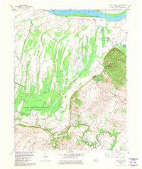
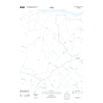
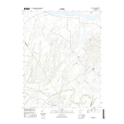
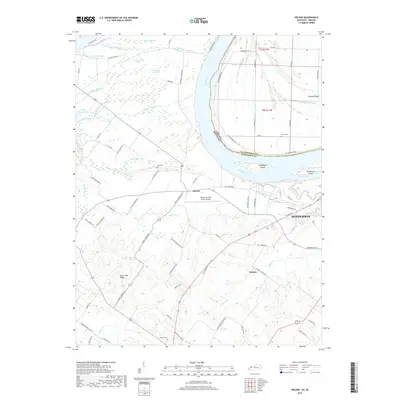
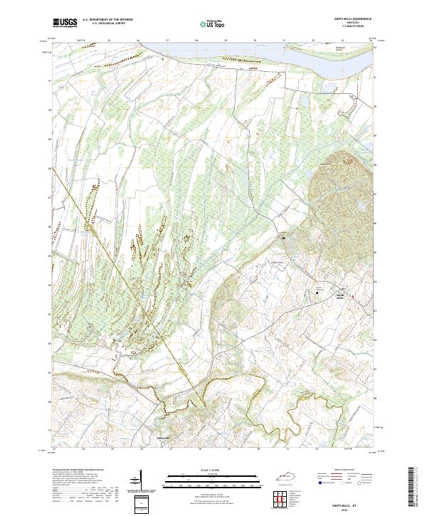
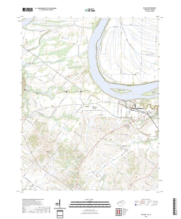
1981 Map of Wilson
USGS Topo · Published 1993About this map
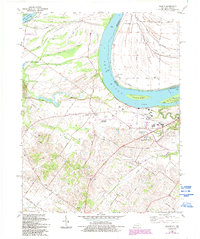
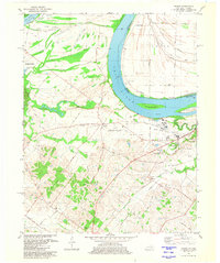
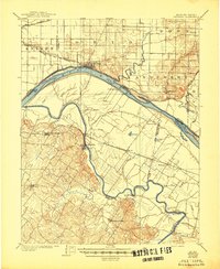
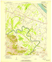
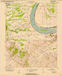
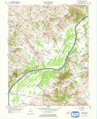
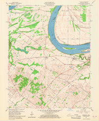
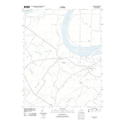
The Ohio River dominates the northern reaches of this map, defining the border between Kentucky and Indiana. In the bottomlands south of the river, an intricate network of wetland features including Deep Slough, Grassy Pond Slough, and Hickory Ridge Slough reveals the complex hydrology of the Sloughs State Wildlife Management Area. These sloughs and ponds represent the remnant paths of the river's historical meanders across the floodplain.
Find a feature on this map
50 named features on this map. Tap any name to fly to it.
Don’t see what you’re looking for? This feature index may not catch every label — zoom into the map to look around manually.
Map Details
Editions of this 1981 Wilson Map
2 editions found
Historical Maps of Henderson Through Time
29 maps found
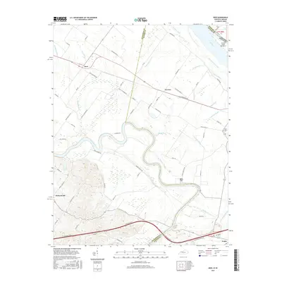
1905 Newburg
Henderson County, KY
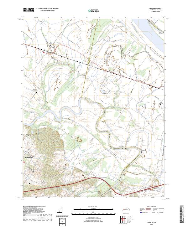
1952 Reed
Henderson County, KY
1952 Smith Mills
Henderson County, KY
1952 Wilson
Henderson County, KY
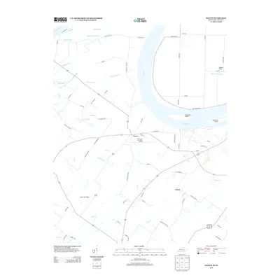
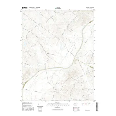
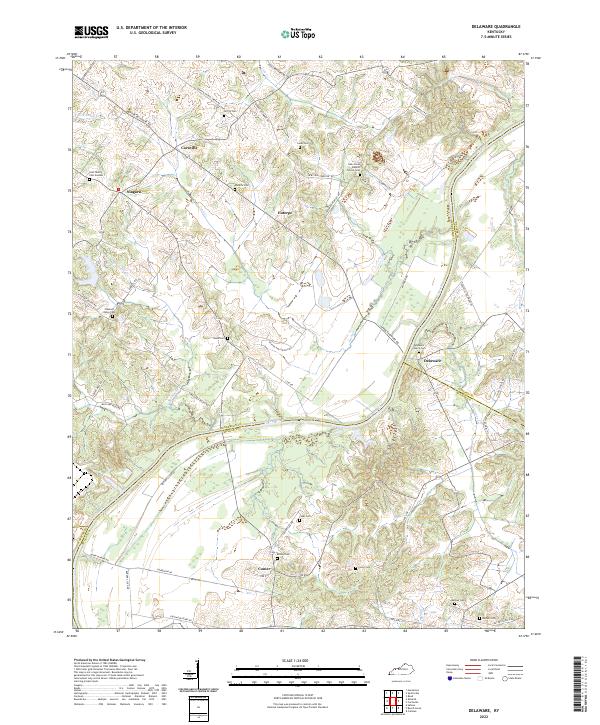
1953 Delaware
Henderson County, KY
1959 Wilson
Henderson County, KY
1971 Reed
Henderson County, KY
1981 Smith Mills
Henderson County, KY
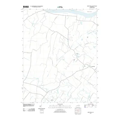
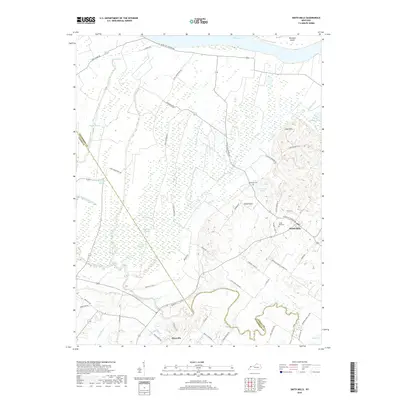
1981 Wilson
Henderson County, KY
2010 Delaware
Henderson County, KY
2010 Reed
Henderson County, KY
2010 Smith Mills
Henderson County, KY
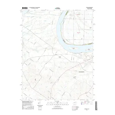
2010 Wilson
Henderson County, KY
2013 Delaware
Henderson County, KY
2013 Reed
Henderson County, KY
2013 Smith Mills
Henderson County, KY
2013 Wilson
Henderson County, KY
2016 Delaware
Henderson County, KY
2016 Reed
Henderson County, KY
2016 Smith Mills
Henderson County, KY
2016 Wilson
Henderson County, KY
2019 Delaware
Henderson County, KY
2019 Reed
Henderson County, KY
2019 Smith Mills
Henderson County, KY
2019 Wilson
Henderson County, KY
2022 Delaware
Henderson County, KY
2022 Reed
Henderson County, KY
2022 Smith Mills
Henderson County, KY
2022 Wilson
Henderson County, KY