Loading...
Loading map...2024 Map of Wilson
USGS Topo · Published 2024About this map
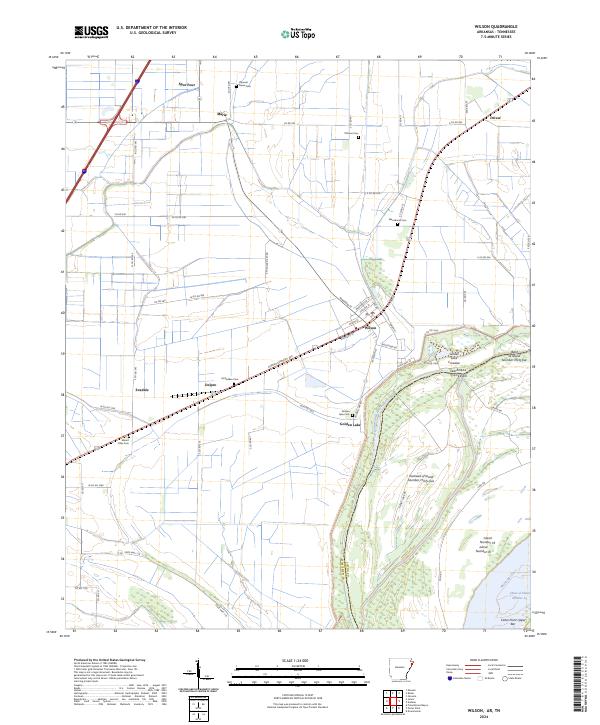
Wilson serves as the central hub of this agricultural landscape in eastern Arkansas, where a grid of rural roads connects several small settlements and family cemeteries. The town layout is clearly defined by streets such as Main St and Jefferson St, sitting just west of the prominent levee system. To the north and west, smaller communities like Marie, Delpro, and Evadale are interspersed with historical burial grounds including Macedonia Cem and McFadden Cem.
Find a feature on this map
71 named features on this map. Tap any name to fly to it.
Don’t see what you’re looking for? This feature index may not catch every label — zoom into the map to look around manually.
Map Details
Date Portrayed2024
Date Published2024
PublisherU.S. Geological Survey
Map TypeTopographic
Scale1:24000
Physical Dimensions24 x 29 inches
Editions of this 2024 Wilson Map
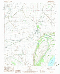
This is the sole edition of this map. No revisions or reprints were ever made.
Historical Maps of Driver Through Time
Featured Locations
Source Details
SourceU.S. Geological Survey
CopyrightPublic Domain