2024 Map of Windsor
USGS Topo · Published 2024About this map
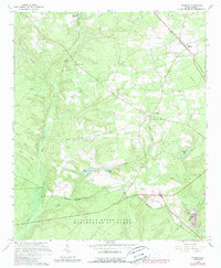
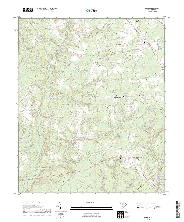
Windsor and Mount Beulah anchor this rural landscape in the Sandhills of South Carolina, where the topography is defined by an intricate network of creeks and small millponds. Genealogical interest centers on several well-established community landmarks, including the Windsor First Baptist Church Graveyard and the Thankful Grove Church Graveyard. The terrain is deeply dissected by tributaries like Upper Three Runs and Tinker Creek, many of which were historically dammed to create features such as Tarrants Millpond and Stringfellow Mill Pond. The mapping reveals a settlement pattern largely dictated by the drainage of Boggy Gut and Beulah Fork, with local life clustered around these water sources and along the winding Old Barnwell Rd.
Find a feature on this map
76 named features on this map. Tap any name to fly to it.
Don’t see what you’re looking for? This feature index may not catch every label — zoom into the map to look around manually.
Map Details
Editions of this 2024 Windsor Map
This is the sole edition of this map. No revisions or reprints were ever made.