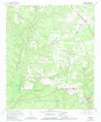
1965 Map of Windsor
USGS Topo · Published 1989About this map
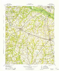
The Southern Railway serves as a primary axis through this landscape of the Aiken-Barnwell border, connecting the community of Windsor to the surrounding rural reaches. This edition, photorevised in the late 1980s, illustrates the expansion of federal activity within the Savannah River Plant. The U.S. Reservation Boundary slices through the southern portion of the quadrangle, marking a distinct line between civilian landscapes and Department of Energy operations. North of this boundary, local life centers on traditional landmarks such as Rosemary Ch, Beulah Grove Ch, and Mt Beulah. The terrain is defined by water systems like Upper Three Runs and Tarrants Millpond, alongside smaller features such as Cooks Pond and Dicks Pond, which supported local industry and agriculture before large-scale government enclosure altered the region's geography.
Find a feature on this map
26 named features on this map. Tap any name to fly to it.
Don’t see what you’re looking for? This feature index may not catch every label — zoom into the map to look around manually.
Map Details
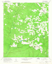
Editions of this 1965 Windsor Map
2 editions found
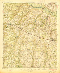
Other maps of this area

1920 · Aiken
USGS Topo · 1:48,000

1920 · Talatha
USGS Topo · 1:48,000

1921 · Aiken
USGS Topo · 1:62,500

1921 · Talatha
USGS Topo · 1:62,500

1923 · Williston
USGS Topo · 1:48,000
1927 · Williston
USGS Topo · 1:62,500
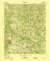
1943 · Aiken
USGS Topo · 1:62,500

1943 · Augusta East
USGS Topo · 1:125,000
1943 · Williston
USGS Topo · 1:62,500

1943 · Talatha
USGS Topo · 1:62,500