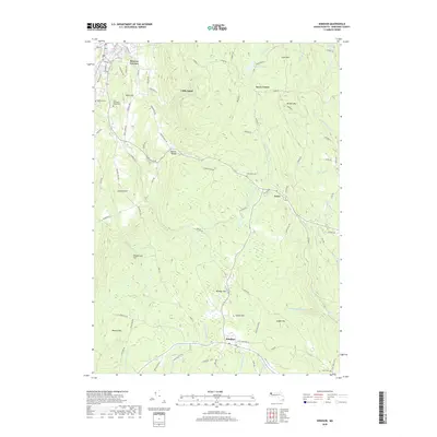
2018 Map of Windsor
USGS Topo · Published 2018About this map
Windsor and Savoy anchor this survey of the Berkshire highlands, where the Hoosac Range forms a significant geological divide between the Atlantic and Hudson watersheds. The map documents a landscape of high summits and deeply incised stream valleys, including the headwaters of the Westfield River, Chickley River, and Hoosic River. Small settlements such as Savoy Center and Bowens Corners are interspersed with family-named landmarks like Fobes Hill and Hales Hill, indicating the area's long-standing agricultural and residential heritage.
Find a feature on this map
100 named features on this map. Tap any name to fly to it.
Don’t see what you’re looking for? This feature index may not catch every label — zoom into the map to look around manually.
Map Details
Editions of this 2018 Windsor Map
This is the sole edition of this map. No revisions or reprints were ever made.
Other maps of this area

1886 · Greylock
USGS Topo · 1:62,500

1886 · Hawley
USGS Topo · 1:62,500

1886 · Chesterfield
USGS Topo · 1:62,500

1886 · Becket
USGS Topo · 1:62,500

1888 · Becket
USGS Topo · 1:62,500

1888 · Chesterfield
USGS Topo · 1:62,500

1890 · Hawley
USGS Topo · 1:62,500

1891 · Greylock
USGS Topo · 1:62,500

1893 · Chesterfield
USGS Topo · 1:62,500

1893 · Becket
USGS Topo · 1:62,500