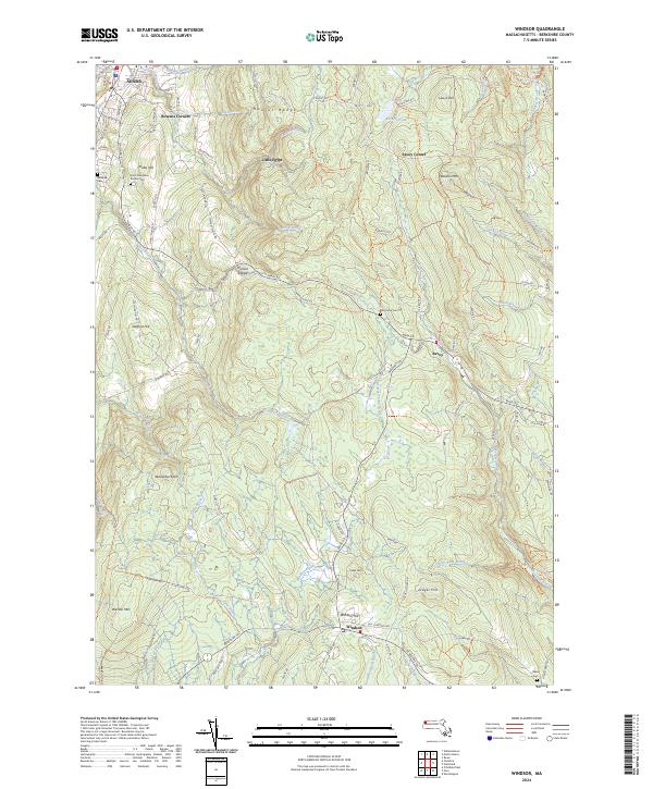
2024 Map of Windsor
USGS Topo · Published 2024About this map
The Hoosac Range dominates this portion of the Berkshire hills, where high-elevation drainage feeds the Westfield Wild and Scenic River and numerous mountain brooks. Small, persistent settlements like Savoy and Windsor are connected by a network of winding roads including the Berkshire Trl. The map details several historic burial grounds that serve as touchstones for local families, including The Tomb Cem near the center of the quadrangle and Saint Stanislaus Kostka Cem further west. Notable peaks such as Borden Mtn and Stafford Hill define the terrain, illustrating the high-country geography that has shaped the region's development from early crossroads like Bowens Corners to contemporary conservation areas. The presence of named trails like the Savoy Kanary Kats Trl indicates the area's transition into a landscape primarily used for recreation and forestry.
Find a feature on this map
94 named features on this map. Tap any name to fly to it.
Don’t see what you’re looking for? This feature index may not catch every label — zoom into the map to look around manually.
Map Details
Editions of this 2024 Windsor Map
This is the sole edition of this map. No revisions or reprints were ever made.
Other maps of this area

1886 · Greylock
USGS Topo · 1:62,500

1886 · Hawley
USGS Topo · 1:62,500

1886 · Chesterfield
USGS Topo · 1:62,500

1886 · Becket
USGS Topo · 1:62,500

1888 · Becket
USGS Topo · 1:62,500

1888 · Chesterfield
USGS Topo · 1:62,500

1890 · Hawley
USGS Topo · 1:62,500

1891 · Greylock
USGS Topo · 1:62,500

1893 · Chesterfield
USGS Topo · 1:62,500

1893 · Becket
USGS Topo · 1:62,500