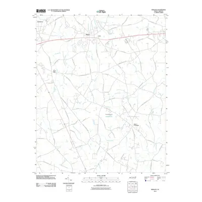
2010 Map of Wingate
USGS Topo · Published 2010About this map
Wingate serves as the central hub of this Union County landscape, situated where the historic corridor of Old Hwy 74 and Old Highway 74 segments meet contemporary transit routes. This 2010 survey reflects a period of expanding residential development alongside long-established agrarian features. The northern reaches near Brookhaven are defined by the headwaters of Rays Fork, while smaller settlements like Rock Rest and Allens Crossroads anchor the surrounding rural intersections.
Find a feature on this map
84 named features on this map. Tap any name to fly to it.
Don’t see what you’re looking for? This feature index may not catch every label — zoom into the map to look around manually.
Map Details
Editions of this 2010 Wingate Map
This is the sole edition of this map. No revisions or reprints were ever made.
Other maps of this area

1941 · Charlotte
USGS Topo · 1:125,000

1941 · Spartanburg
USGS Topo · 1:250,000

1942 · Charlotte
USGS Topo · 1:125,000

1953 · Spartanburg
USGS Topo · 1:250,000

1953 · Charlotte
USGS Topo · 1:250,000

1954 · Charlotte
USGS Topo · 1:250,000

1960 · Charlotte
USGS Topo · 1:250,000

1960 · Spartanburg
USGS Topo · 1:250,000

1962 · Charlotte
USGS Topo · 1:250,000

1963 · Spartanburg
USGS Topo · 1:250,000