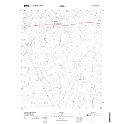
2019 Map of Wingate
USGS Topo · Published 2019About this map
Wingate serves as a central hub in Union County, where the CSX Transportation railroad parallels the historic corridor of E Roosevelt Blvd. The landscape is characterized by a high density of rural religious and burial sites, including the Bible Baptist Tabernacle Cem and Nicey Grove Church Cem, reflecting deep-rooted family and community ties. Settlement patterns follow the winding paths of numerous waterways such as Richardson Creek and Beaverdam Cr, with smaller nodes like Rock Rest and Allens Crossroads established at key intersections. The survey also captures Meadowbranch and several family landmarks like the Bennett-Bivens Cem, offering a detailed view of this Piedmont landscape as it transition from concentrated town centers to dispersed agrarian homesteads and church-centered neighborhoods.
Find a feature on this map
161 named features on this map. Tap any name to fly to it.
Don’t see what you’re looking for? This feature index may not catch every label — zoom into the map to look around manually.
Map Details
Editions of this 2019 Wingate Map
This is the sole edition of this map. No revisions or reprints were ever made.
Other maps of this area

1941 · Charlotte
USGS Topo · 1:125,000

1941 · Spartanburg
USGS Topo · 1:250,000

1942 · Charlotte
USGS Topo · 1:125,000

1953 · Spartanburg
USGS Topo · 1:250,000

1953 · Charlotte
USGS Topo · 1:250,000

1954 · Charlotte
USGS Topo · 1:250,000

1960 · Charlotte
USGS Topo · 1:250,000

1960 · Spartanburg
USGS Topo · 1:250,000

1962 · Charlotte
USGS Topo · 1:250,000

1963 · Spartanburg
USGS Topo · 1:250,000