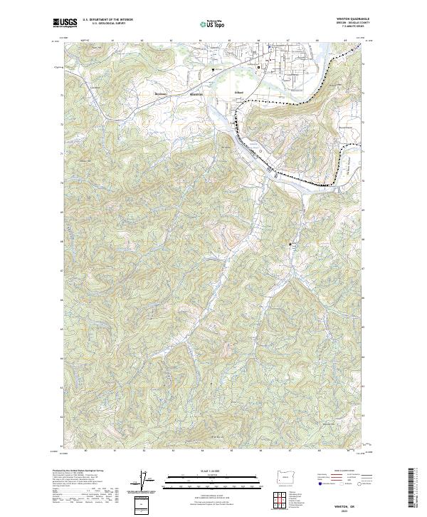
2023 Map of Winston
USGS Topo · Published 2023About this map
The South Umpqua River snakes through the center of this Douglas County landscape, anchoring the timber-influenced communities of Winston and Dillard. The presence of the Dillard Log Pond near the river reflects the enduring importance of the local wood products industry. To the west, the valley floor gives way to significant elevations such as Swan Hill and Hoover Hill, while Big Baldy and Boomer Hill rise to the south, creating a constrained geographic corridor that has shaped settlement patterns for generations.
Find a feature on this map
84 named features on this map. Tap any name to fly to it.
Don’t see what you’re looking for? This feature index may not catch every label — zoom into the map to look around manually.
Map Details
Editions of this 2023 Winston Map
This is the sole edition of this map. No revisions or reprints were ever made.