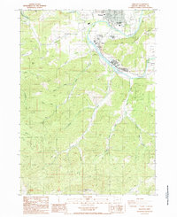
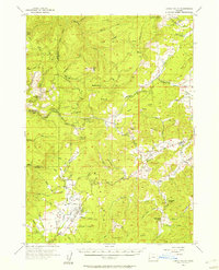
1987 Map of Winston
USGS Topo · Published 1987About this map
The South Umpqua River carves a winding path through this Douglas County landscape, defining the development of Winston and Dillard. This 1987 provisional survey shows the region's transition from the river-bottom settlements to the steep timbered slopes of Roberts Mountain and Swan Hill. The river's horseshoe-shaped Civil Bend serves as a focal point for local industry and recreation, with the Winston-Dillard County Park situated along the northern bank.
Find a feature on this map
51 named features on this map. Tap any name to fly to it.
Don’t see what you’re looking for? This feature index may not catch every label — zoom into the map to look around manually.
Map Details
Editions of this 1987 Winston Map
This is the sole edition of this map. No revisions or reprints were ever made.
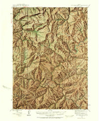
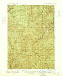
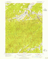
Other maps of this area

1897 · Roseburg
USGS Topo · 1:125,000

1900 · Roseburg
USGS Topo · 1:125,000

1904 · Riddle
USGS Topo · 1:125,000

1928 · Sitkum
USGS Topo · 1:125,000
1946 · Dutchman Butte
USGS Topo · 1:62,500
1948 · Dutchman Butte
USGS Topo · 1:62,500
1954 · Canyonville
USGS Topo · 1:62,500
1955 · Camas Valley
USGS Topo · 1:62,500
1955 · Roseburg
USGS Topo · 1:62,500

1955 · Medford
USGS Topo · 1:250,000