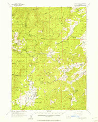
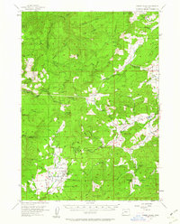
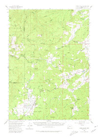
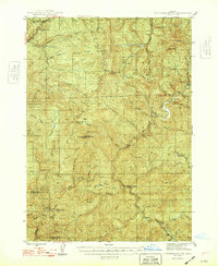
1955 Map of Camas Valley
USGS Topo · Published 1957About this map
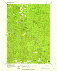
The Middle Fork Coquille River and its numerous tributaries, such as Tenmile Creek, carve through the high ridges of Douglas County in this mid-century survey. The settlement of Camas Valley serves as a local hub, surrounded by family-named landmarks and essential community infrastructure like the Patterson Cemetery and Martindale Cemetery. The landscape is defined by its steep terrain, including Yew Ridge and Buzzard Rock, which dictated the early transportation network of Wagon Road routes and newer developments like Callahan Rd.
Find a feature on this map
65 named features on this map. Tap any name to fly to it.
Don’t see what you’re looking for? This feature index may not catch every label — zoom into the map to look around manually.
Map Details
Editions of this 1955 Camas Valley Map
3 editions found
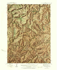
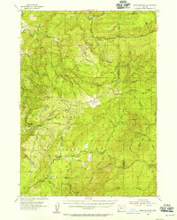
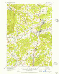
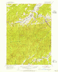
Other maps of this area

1897 · Roseburg
USGS Topo · 1:125,000

1900 · Roseburg
USGS Topo · 1:125,000

1904 · Riddle
USGS Topo · 1:125,000

1928 · Sitkum
USGS Topo · 1:125,000
1946 · Dutchman Butte
USGS Topo · 1:62,500
1948 · Dutchman Butte
USGS Topo · 1:62,500
1954 · Bone Mountain
USGS Topo · 1:62,500
1954 · Sutherlin
USGS Topo · 1:62,500
1954 · Canyonville
USGS Topo · 1:62,500
1955 · Ivers Peak
USGS Topo · 1:62,500