
1955 Map of Ivers Peak
USGS Topo · Published 1957About this map
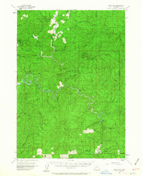
Golden and Silver Falls State Park centers this mid-century survey of the Oregon Coast Range, preserving the remarkable cataracts of Silver Falls and Golden Falls. The landscape is defined by the complex drainage networks of the West Fork Millicoma River and the South Fork Coos River, which carve through prominent elevations like Ivers Peak and Vaughn Point. The presence of the Coos River Fish Hatchery and several isolated outposts such as Tioga Guard Station and Fanno Camp illustrates the region's management by forestry and wildlife agencies during the 1950s.
Find a feature on this map
53 named features on this map. Tap any name to fly to it.
Don’t see what you’re looking for? This feature index may not catch every label — zoom into the map to look around manually.
Map Details
Editions of this 1955 Ivers Peak Map
3 editions found
Other maps of this area

1896 · Coos Bay
USGS Topo · 1:125,000

1898 · Coos Bay
USGS Topo · 1:125,000

1900 · Coos Bay
USGS Topo · 1:125,000

1923 · Reedsport
USGS Topo · 1:62,500

1928 · Sitkum
USGS Topo · 1:125,000

1942 · Reedsport
USGS Topo · 1:62,500

1942 · Coquille
USGS Topo · 1:62,500

1942 · Coos Bay
USGS Topo · 1:62,500

1945 · Coquille
USGS Topo · 1:62,500

1945 · Coos Bay
USGS Topo · 1:62,500