
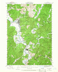
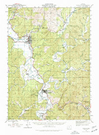
1942 Map of Coquille
USGS Topo · Published 1960About this map
The Coquille river valley dominates this 1942 survey, showing a landscape defined by the convergence of the North Fork, Middle Fork, and South Fork. This area of Coos County reveals a mid-century economy built on resource extraction and river-bottom agriculture, with the Southern Pacific Railroad snaking through the valley floor to connect settlements like Coaledo, Norway, and Myrtle Point. Evidence of local industry is clear in the northern hills at the Overland Coal Mine and Thomas Mine. A dense network of rural infrastructure supports the scattered population, including the County Farm and a high concentration of neighborhood schoolhouses such as Fat Elk Sch, Roy School, and Lee School. The terrain transitions from the wide alluvial plains of Halls Prairie to the timbered heights of Budd Mtn and Anderson Mtn.
Find a feature on this map
72 named features on this map. Tap any name to fly to it.
Don’t see what you’re looking for? This feature index may not catch every label — zoom into the map to look around manually.
Map Details
Editions of this 1942 Coquille Map
3 editions found
Other maps of this area

1896 · Coos Bay
USGS Topo · 1:125,000

1898 · Coos Bay
USGS Topo · 1:125,000

1899 · Port Orford
USGS Topo · 1:125,000

1900 · Coos Bay
USGS Topo · 1:125,000

1903 · Port Orford
USGS Topo · 1:125,000

1928 · Sitkum
USGS Topo · 1:125,000

1942 · Empire
USGS Topo · 1:62,500

1942 · Coos Bay
USGS Topo · 1:62,500

1943 · Bandon
USGS Topo · 1:62,500

1944 · Empire
USGS Topo · 1:62,500