
1896 Map of Coos Bay
USGS Topo · Published 1896About this map
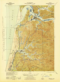
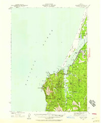
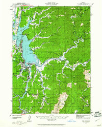
Empire and Marshfield serve as the primary hubs of commerce on Coos Bay during the mid-1890s, when the regional economy was tied inextricably to its labyrinth of tidal sloughs and river systems. The map reveals an intricate network of waterways like Isthmus Slough and South Slough, which provided essential transit for timber and coal before the arrival of modern highways. To the south, the Coquille River valley supports a string of riverfront settlements including Randolph, Prosper, and Parkersburg, leading to the coastal port of Bandon at the mouth of the river. Inland, the importance of resource extraction is evident at Beaver Hill and Coaledo, while smaller farming and logging outposts like Arago and Myrtle Point dot the interior landscape. The presence of a Light at Cape Arago and Coquille Pt highlights the maritime hazards faced by vessels navigating this jagged Pacific shoreline.
Find a feature on this map
50 named features on this map. Tap any name to fly to it.
Don’t see what you’re looking for? This feature index may not catch every label — zoom into the map to look around manually.
Map Details
Editions of this 1896 Coos Bay Map
This is the sole edition of this map. No revisions or reprints were ever made.
Other maps of this area

1898 · Coos Bay
USGS Topo · 1:125,000

1899 · Port Orford
USGS Topo · 1:125,000

1900 · Coos Bay
USGS Topo · 1:125,000

1903 · Port Orford
USGS Topo · 1:125,000

1923 · Reedsport
USGS Topo · 1:62,500

1928 · Sitkum
USGS Topo · 1:125,000
1942 · Reedsport
USGS Topo · 1:62,500
1942 · Empire
USGS Topo · 1:62,500

1942 · Coquille
USGS Topo · 1:62,500
1942 · Coos Bay
USGS Topo · 1:62,500