
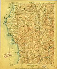
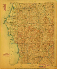
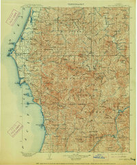
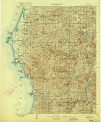
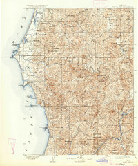
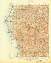
1903 Map of Port Orford
USGS Topo · Published 1903About this map
Port Orford serves as the coastal anchor of this turn-of-the-century survey, which reveals the rugged interface between the Pacific Ocean and the Southern Oregon interior. Inland, the landscape is defined by the winding paths of the Sixes River, Elk River, and Rogue River, which supported early river-and-trail connectivity. Small settlements like Illahe and Agness are positioned deep along these watercourses, illustrating the isolation of mountain outposts at the time.
Find a feature on this map
135 named features on this map. Tap any name to fly to it.
Don’t see what you’re looking for? This feature index may not catch every label — zoom into the map to look around manually.
Map Details
Editions of this 1903 Port Orford Map
7 editions found
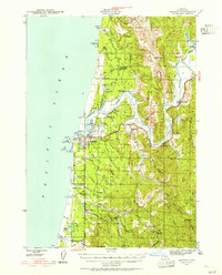
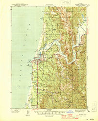
Other maps of this area

1896 · Coos Bay
USGS Topo · 1:125,000

1898 · Coos Bay
USGS Topo · 1:125,000

1899 · Port Orford
USGS Topo · 1:125,000

1900 · Coos Bay
USGS Topo · 1:125,000

1917 · Kerby
USGS Topo · 1:125,000

1918 · Kerby
USGS Topo · 1:125,000

1928 · Sitkum
USGS Topo · 1:125,000

1942 · Coquille
USGS Topo · 1:62,500
1943 · Bandon
USGS Topo · 1:62,500
1944 · Bandon
USGS Topo · 1:62,500