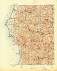
1903 Map of Port Orford
USGS Topo · Published 1944About this map
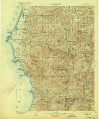
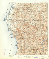
The coastal headlands and dense timber of Curry County are documented here during a period of early settlement and resource exploration. Centered on the seafaring hub of Port Orford, the coastline transitions from the prominent Cape Blanco and its L.H. lighthouse down to the massive rises of Humbug Mt. and the vanished shipping point of Frankport. Inland, the survey reveals a landscape of high ridges and isolated prairies within the Siskiyou National Forest, where small post offices like Denmark and Ophir served the pioneer families of the turn-of-the-century era. The intricate drainage of the Sixes River and Elk River systems illustrates the difficult geography that governed local travel before modern roads, while the confluence of the Rogue River at Agness highlights the importance of river access for remote inland communities.
Find a feature on this map
125 named features on this map. Tap any name to fly to it.
Don’t see what you’re looking for? This feature index may not catch every label — zoom into the map to look around manually.
Map Details
Editions of this 1903 Port Orford Map
7 editions found
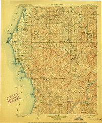
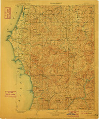
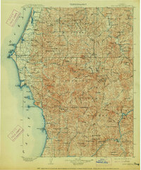
Other maps of this area

1896 · Coos Bay
USGS Topo · 1:125,000

1898 · Coos Bay
USGS Topo · 1:125,000

1899 · Port Orford
USGS Topo · 1:125,000

1900 · Coos Bay
USGS Topo · 1:125,000

1903 · Port Orford
USGS Topo · 1:125,000

1917 · Kerby
USGS Topo · 1:125,000

1918 · Kerby
USGS Topo · 1:125,000

1928 · Sitkum
USGS Topo · 1:125,000

1942 · Coquille
USGS Topo · 1:62,500

1943 · Bandon
USGS Topo · 1:62,500