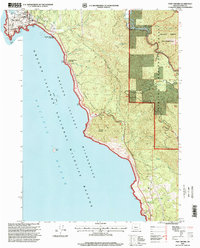
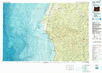
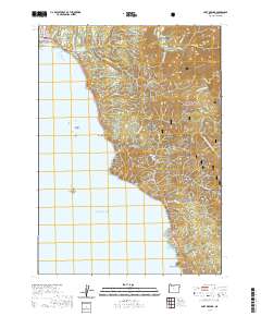
1996 Map of Port Orford
USGS Topo · Published 1999About this map
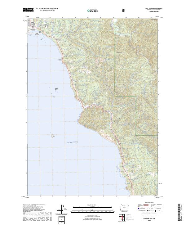
Port Orford sits at the edge of the Pacific Ocean, defined by its deep connection to the sea and the dramatic coastal geology of the Southern Oregon coast. This mid-1990s revision reveals a town flanked by public lands and protected habitats, from the Port Orford Heads State Wayside to the offshore sanctuaries of the Oregon Islands National Wildlife Refuge. The landscape is dominated by the massive rise of Humbug Mountain and the dense interior of the Siskiyou National Forest. Inland, the Elk River State Fish Hatchery highlights the importance of the local watershed, where Elk River and Anvil Creek flow through the Grassy Knob Wilderness. The presence of the US Coast Guard Station and landmarks like Graveyard Point and Battle Rock reflect the maritime hazards and historical identity of this rugged harbor town.
Find a feature on this map
40 named features on this map. Tap any name to fly to it.
Don’t see what you’re looking for? This feature index may not catch every label — zoom into the map to look around manually.
Map Details
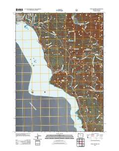
Editions of this 1996 Port Orford Map
This is the sole edition of this map. No revisions or reprints were ever made.
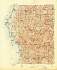
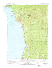
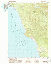
Historical Maps of Port Orford Through Time
11 maps found

1899 Port Orford
Curry County, OR
1903 Port Orford
Curry County, OR
1954 Port Orford
Curry County, OR
1986 Port Orford
Curry County, OR
1992 Port Orford
Curry County, OR
1996 Port Orford
Curry County, OR
2011 Port Orford
Curry County, OR
2014 Port Orford
Curry County, OR
2017 Port Orford
Curry County, OR
2020 Port Orford
Curry County, OR
2024 Port Orford
Curry County, OR