
1954 Map of Langlois
USGS Topo · Published 1956About this map
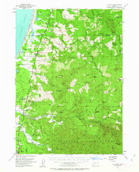
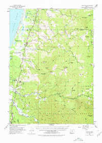
Cranberry Bogs along the coastal terrace define the agricultural character of this Curry County landscape, where small settlements like Langlois and Denmark sit along the north-south transit corridor. The geography transitions sharply from the coastal lagoons of Floras Lake and New Lake into the dense timberlands of the Siskiyou National Forest. Deep river valleys, notably the Sixes River and its multiple forks, carve through the upland interior toward the Pacific Ocean. High-altitude lookouts at Edson Butte and Mt Butler highlight the region's historical reliance on fire detection in these vast forests. Genealogists may note family-named landmarks such as Taylor Ranch and the Millard Sch, alongside the specialized logging and agricultural economy evident in the Port Orford Cedar State Park and local marshlands.
Find a feature on this map
65 named features on this map. Tap any name to fly to it.
Don’t see what you’re looking for? This feature index may not catch every label — zoom into the map to look around manually.
Map Details
Editions of this 1954 Langlois Map
3 editions found
Other maps of this area

1896 · Coos Bay
USGS Topo · 1:125,000

1898 · Coos Bay
USGS Topo · 1:125,000

1899 · Port Orford
USGS Topo · 1:125,000

1900 · Coos Bay
USGS Topo · 1:125,000

1903 · Port Orford
USGS Topo · 1:125,000

1942 · Coquille
USGS Topo · 1:62,500

1943 · Bandon
USGS Topo · 1:62,500

1944 · Bandon
USGS Topo · 1:62,500

1945 · Coquille
USGS Topo · 1:62,500

1954 · Coos Bay
USGS Topo · 1:250,000