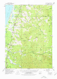
1954 Map of Langlois
USGS Topo · Published 1978About this map
Cranberry Bogs define the coastal lowlands of Curry County in the mid-1950s, clustered near the settlements of Langlois and Denmark. This coastal landscape is shaped by the drainage of Floras Creek and the Sixes River, where small communities and family-named landmarks like Morton Butte and Madden Butte dot the terrain between the Pacific Ocean and the rising peaks of the Siskiyou National Forest.
Find a feature on this map
74 named features on this map. Tap any name to fly to it.
Don’t see what you’re looking for? This feature index may not catch every label — zoom into the map to look around manually.
Map Details
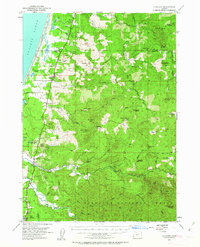
Editions of this 1954 Langlois Map
3 editions found

Other maps of this area

1896 · Coos Bay
USGS Topo · 1:125,000

1898 · Coos Bay
USGS Topo · 1:125,000

1899 · Port Orford
USGS Topo · 1:125,000

1900 · Coos Bay
USGS Topo · 1:125,000

1903 · Port Orford
USGS Topo · 1:125,000

1942 · Coquille
USGS Topo · 1:62,500

1943 · Bandon
USGS Topo · 1:62,500

1944 · Bandon
USGS Topo · 1:62,500

1945 · Coquille
USGS Topo · 1:62,500

1954 · Coos Bay
USGS Topo · 1:250,000