
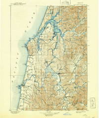
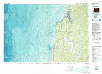
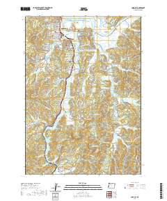
1954 Map of Coos Bay
USGS Topo · Published 1954About this map
Siuslaw National Forest and Siskiyou National Forest dominate this stretch of the Oregon coastline, where timber and maritime commerce shaped the mid-century landscape. The Southern Pacific RR serves as a vital artery through the region, connecting coastal hubs like North Bend and Coos Bay with inland industrial interests. The map illustrates a developed maritime infrastructure, anchored by the Umpqua River Lighthouse, Arago Lighthouse, and the Cape Blanco Lighthouse, which guided shipping past prominent landforms such as Cape Arago and Cape Blanco.
Find a feature on this map
95 named features on this map. Tap any name to fly to it.
Don’t see what you’re looking for? This feature index may not catch every label — zoom into the map to look around manually.
Map Details
Editions of this 1954 Coos Bay Map
This is the sole edition of this map. No revisions or reprints were ever made.
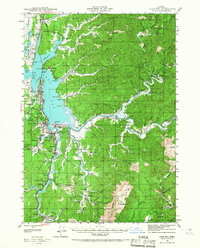
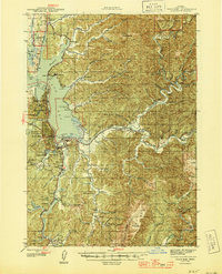
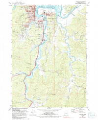
Historical Maps of Coos Bay Through Time
15 maps found

1896 Coos Bay
Coos County, OR

1898 Coos Bay
Coos County, OR
1900 Coos Bay
Coos County, OR
1942 Coos Bay
Coos County, OR
1945 Coos Bay
Coos County, OR
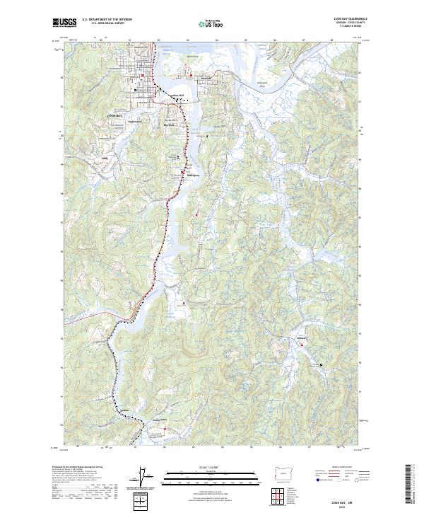
1954 Coos Bay
Coos County, OR

1958 Coos Bay
Coos County, OR

1962 Coos Bay
Coos County, OR
1971 Coos Bay
Coos County, OR
1993 Coos Bay
Coos County, OR
2011 Coos Bay
Coos County, OR
2014 Coos Bay
Coos County, OR
2017 Coos Bay
Coos County, OR
2020 Coos Bay
Coos County, OR
2023 Coos Bay
Coos County, OR