
1919 Map of Earl
USGS Topo · Published 1919About this map
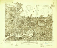
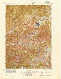
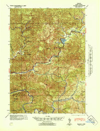
Siuslaw National Forest dominates this 1919 landscape, where the rugged terrain of the Coast Range is defined by a dense network of watercourses and isolated homesteads. The Smith River and Kentucky River wind through deep canyons, providing the primary corridors for early settlement. Notable for family researchers, the map identifies numerous specific homesteads and ranches, including Anderson Ranch, Fiske Ranch, and Jack Daily Ranch, many of which were connected only by trails such as the North Fork Trail.
Find a feature on this map
62 named features on this map. Tap any name to fly to it.
Don’t see what you’re looking for? This feature index may not catch every label — zoom into the map to look around manually.
Map Details
Editions of this 1919 Earl Map
This is the sole edition of this map. No revisions or reprints were ever made.
Other maps of this area
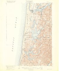
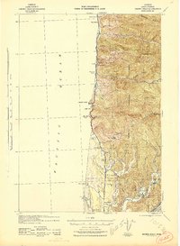
1918 · Mapleton
USGS Topo · 1:48,000
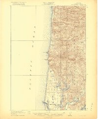
1920 · Siltcoos Lake
USGS Topo · 1:62,500
1920 · Heceta Head
USGS Topo · 1:62,500

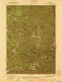
1923 · Reedsport
USGS Topo · 1:62,500
1940 · Mapleton
USGS Topo · 1:62,500
1941 · Blachly
USGS Topo · 1:62,500

1941 · Siltcoos Lake
USGS Topo · 1:62,500
1942 · Blachly
USGS Topo · 1:62,500
1942 · Heceta Head
USGS Topo · 1:62,500

1942 · Siltcoos Lake
USGS Topo · 1:62,500