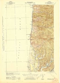
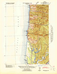
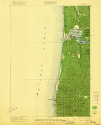
1942 Map of Heceta Head
USGS Topo · Published 1942About this map
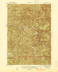
The Siuslaw National Forest dominates this coastal landscape during the early years of World War II, showing a mix of rugged shoreline and developing infrastructure. The Oregon Coast Highway threads along the Pacific, providing a vital link for the scattered settlements like Roosevelt Beach. Inland, the map reveals the social fabric of the era through the locations of the Big Creek Sch and Mercer Sch, while the economic life of the ridges is marked by Clover Ridge Farm.
Find a feature on this map
50 named features on this map. Tap any name to fly to it.
Don’t see what you’re looking for? This feature index may not catch every label — zoom into the map to look around manually.
Map Details
Editions of this 1942 Heceta Head Map
2 editions found
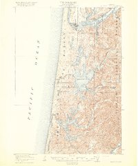
Other maps of this area
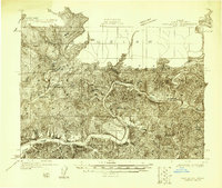
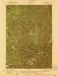
1918 · Mapleton
USGS Topo · 1:48,000

1919 · Earl
USGS Topo · 1:48,000
1920 · Siltcoos Lake
USGS Topo · 1:62,500
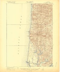
1920 · Heceta Head
USGS Topo · 1:62,500
1922 · Waldport
USGS Topo · 1:62,500
1940 · Mapleton
USGS Topo · 1:62,500

1941 · Siltcoos Lake
USGS Topo · 1:62,500
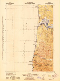
1942 · Waldport
USGS Topo · 1:62,500

1942 · Siltcoos Lake
USGS Topo · 1:62,500
1942 · Tidewater
USGS Topo · 1:62,500