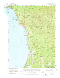
1954 Map of Port Orford
USGS Topo · Published 1973About this map
The Pacific coastline of southern Oregon dominates this mid-century survey, centered on the historic seafaring community of Port Orford. The map captures a landscape where the coastal terrace meets the dense interior of the Siskiyou National Forest, showing the early footprint of U.S. 101 as it winds around the base of Humbug Mtn. Notable maritime landmarks include the Coast Guard Sta and Graveyard Point, protecting the anchorage from the open ocean near Nellies Point.
Find a feature on this map
91 named features on this map. Tap any name to fly to it.
Don’t see what you’re looking for? This feature index may not catch every label — zoom into the map to look around manually.
Map Details
Editions of this 1954 Port Orford Map
3 editions found
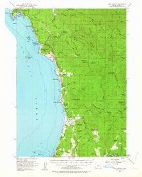
Other maps of this area

1899 · Port Orford
USGS Topo · 1:125,000

1903 · Port Orford
USGS Topo · 1:125,000

1954 · Coos Bay
USGS Topo · 1:250,000

1954 · Port Orford
USGS Topo · 1:62,500

1954 · Cape Blanco
USGS Topo · 1:62,500

1954 · Gold Beach
USGS Topo · 1:62,500

1954 · Collier Butte
USGS Topo · 1:62,500

1954 · Agness
USGS Topo · 1:62,500

1954 · Powers
USGS Topo · 1:62,500

1954 · Langlois
USGS Topo · 1:62,500