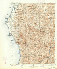
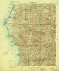
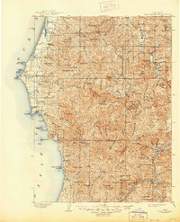
1903 Map of Port Orford
USGS Topo · Published 1934About this map
Cape Blanco stands as the westernmost point on this coastal landscape, which was surveyed at the end of the nineteenth century before being reprinted in the 1930s. The region is defined by a series of coastal freshwater bodies like Floras Lake, Garrison Lake, and New Lake, separated from the Pacific Ocean by narrow strips of land. Inland, the terrain rises sharply into the Siskiyou National Forest, where the Rogue River and Illinois River carve through high peaks including Salmon Mountain and Barklow Mt.
Find a feature on this map
110 named features on this map. Tap any name to fly to it.
Don’t see what you’re looking for? This feature index may not catch every label — zoom into the map to look around manually.
Map Details
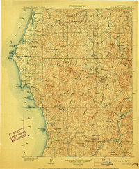
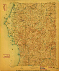
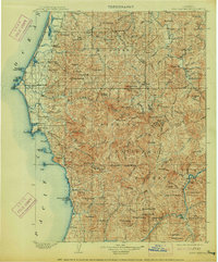
Editions of this 1903 Port Orford Map
7 editions found
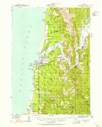
Other maps of this area

1896 · Coos Bay
USGS Topo · 1:125,000

1898 · Coos Bay
USGS Topo · 1:125,000

1899 · Port Orford
USGS Topo · 1:125,000

1900 · Coos Bay
USGS Topo · 1:125,000

1903 · Port Orford
USGS Topo · 1:125,000

1917 · Kerby
USGS Topo · 1:125,000

1918 · Kerby
USGS Topo · 1:125,000

1928 · Sitkum
USGS Topo · 1:125,000

1942 · Coquille
USGS Topo · 1:62,500
1943 · Bandon
USGS Topo · 1:62,500