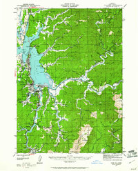
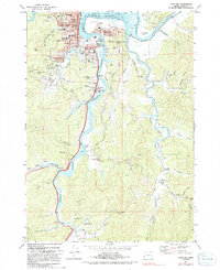
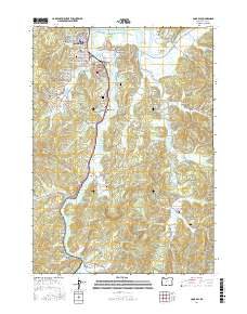
1942 Map of Coos Bay
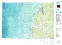
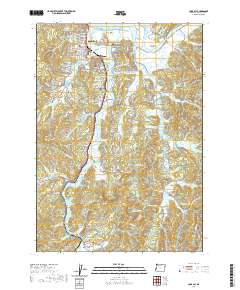
USGS Topo · Published 1961About this map
Industrial and maritime activity define the Oregon coast in this early 1940s survey of the Coos Bay area. Coal extraction is a prominent feature of the landscape, with both the Southport Coal Mine and the Libby Coal Mine (Inactive) located south of the main population centers. The complex geography of the Millicoma River and the Coos River systems is documented in detail, showing a network of sloughs and inlets that supported the regional economy.
Find a feature on this map
96 named features on this map. Tap any name to fly to it.
Don’t see what you’re looking for? This feature index may not catch every label — zoom into the map to look around manually.
Map Details
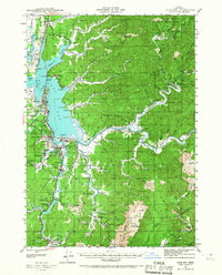
Editions of this 1942 Coos Bay Map
2 editions found
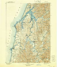
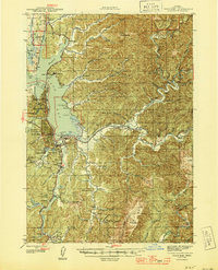
Historical Maps of Coos Bay Through Time
15 maps found

1896 Coos Bay
Coos County, OR

1898 Coos Bay
Coos County, OR
1900 Coos Bay
Coos County, OR
1942 Coos Bay
Coos County, OR
1945 Coos Bay
Coos County, OR

1954 Coos Bay
Coos County, OR

1958 Coos Bay
Coos County, OR

1962 Coos Bay
Coos County, OR
1971 Coos Bay
Coos County, OR
1993 Coos Bay
Coos County, OR
2011 Coos Bay
Coos County, OR
2014 Coos Bay
Coos County, OR
2017 Coos Bay
Coos County, OR
2020 Coos Bay
Coos County, OR
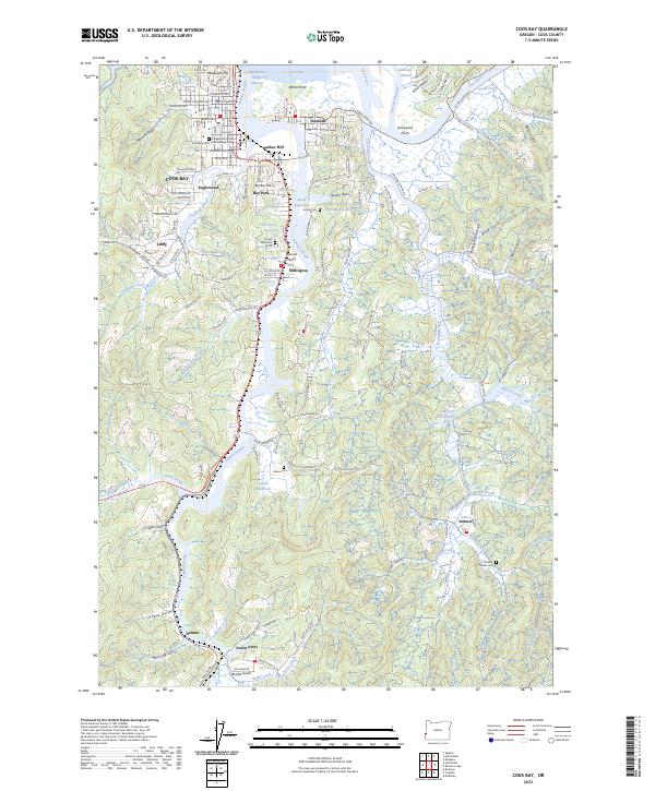
2023 Coos Bay
Coos County, OR