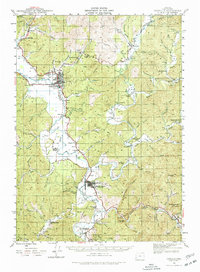
1942 Map of Coquille
USGS Topo · Published 1977About this map
The Coquille valley serves as a vital corridor during the early 1940s, where the Southern Pacific railroad and the Oregon Coast Highway weave through the lowlands connecting timber and mining operations. Industry is anchored by the Overland Coal Mine and Thomas Mine in the north near Coaledo, while the Middle Fork Coquille River and its various forks dictate the agricultural settlement patterns.
Find a feature on this map
102 named features on this map. Tap any name to fly to it.
Don’t see what you’re looking for? This feature index may not catch every label — zoom into the map to look around manually.
Map Details
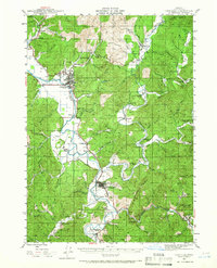
Editions of this 1942 Coquille Map
3 editions found
Other maps of this area

1896 · Coos Bay
USGS Topo · 1:125,000

1898 · Coos Bay
USGS Topo · 1:125,000

1899 · Port Orford
USGS Topo · 1:125,000

1900 · Coos Bay
USGS Topo · 1:125,000

1903 · Port Orford
USGS Topo · 1:125,000

1928 · Sitkum
USGS Topo · 1:125,000

1942 · Empire
USGS Topo · 1:62,500

1942 · Coquille
USGS Topo · 1:62,500

1942 · Coos Bay
USGS Topo · 1:62,500

1943 · Bandon
USGS Topo · 1:62,500