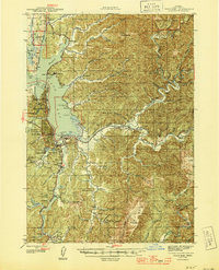
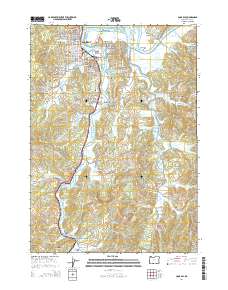
1945 Map of Coos Bay
USGS Topo · Published 1945About this map
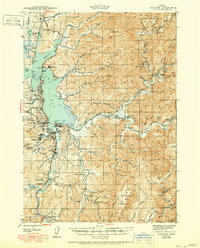
Coos Bay and the surrounding inlets define this 1940s landscape, serving as a hub for the coastal timber and coal industries. The shoreline is dotted with active and former industrial sites, including the Libby Coal Mine (Inactive) and Southport Coal Mine, reflecting the region's extraction history. Transportation is dominated by the Southern Pacific railroad and the Oregon Coast Highway, which crosses the water via the Coos Bay Bridge.
Find a feature on this map
88 named features on this map. Tap any name to fly to it.
Don’t see what you’re looking for? This feature index may not catch every label — zoom into the map to look around manually.
Map Details
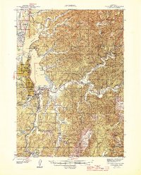
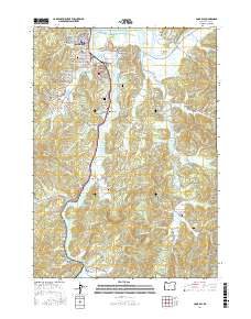
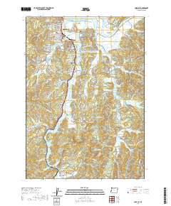
Editions of this 1945 Coos Bay Map
3 editions found
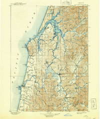
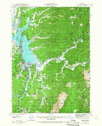
Historical Maps of Coos Bay Through Time
15 maps found

1896 Coos Bay
Coos County, OR

1898 Coos Bay
Coos County, OR
1900 Coos Bay
Coos County, OR
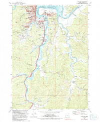
1942 Coos Bay
Coos County, OR
1945 Coos Bay
Coos County, OR

1954 Coos Bay
Coos County, OR

1958 Coos Bay
Coos County, OR

1962 Coos Bay
Coos County, OR
1971 Coos Bay
Coos County, OR
1993 Coos Bay
Coos County, OR
2011 Coos Bay
Coos County, OR
2014 Coos Bay
Coos County, OR
2017 Coos Bay
Coos County, OR
2020 Coos Bay
Coos County, OR
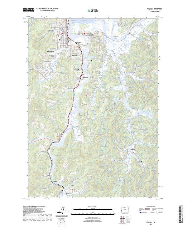
2023 Coos Bay
Coos County, OR