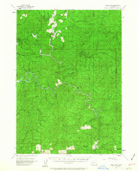
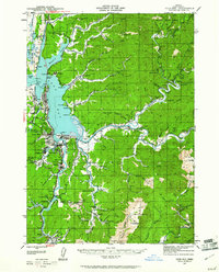
1955 Map of Ivers Peak
USGS Topo · Published 1963About this map
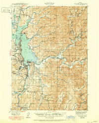
Golden and Silver Falls State Park centers a landscape defined by the deep canyons of the Oregon Coast Range during the mid-1950s. The map illustrates a region driven by natural resource management and conservation, notably featuring the Coos River Fish Hatchery and the Tioga Guard Station. The drainage patterns are intricate, with the South Fork Coos River winding through the center and the West Fork Millicoma River cutting through the northwest corner. Settlement is sparse, represented primarily by specialized outposts like Farris Camp and Old Tioga Camp. The presence of Millicoma Myrtle Grove State Park highlights the preservation of unique local timber, while the terrain rises sharply toward prominent landmarks such as Ivers Peak and Coquille Mountain.
Find a feature on this map
53 named features on this map. Tap any name to fly to it.
Don’t see what you’re looking for? This feature index may not catch every label — zoom into the map to look around manually.
Map Details
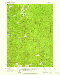
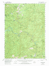
Editions of this 1955 Ivers Peak Map
3 editions found
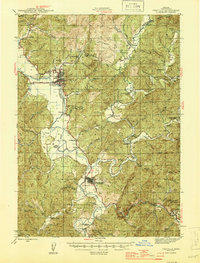
Other maps of this area

1896 · Coos Bay
USGS Topo · 1:125,000

1898 · Coos Bay
USGS Topo · 1:125,000

1900 · Coos Bay
USGS Topo · 1:125,000

1923 · Reedsport
USGS Topo · 1:62,500

1928 · Sitkum
USGS Topo · 1:125,000
1942 · Reedsport
USGS Topo · 1:62,500

1942 · Coquille
USGS Topo · 1:62,500
1942 · Coos Bay
USGS Topo · 1:62,500
1945 · Coquille
USGS Topo · 1:62,500
1945 · Coos Bay
USGS Topo · 1:62,500