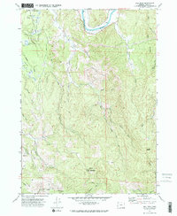
1971 Map of Bill Peak
USGS Topo · Published 1973About this map
The Coquille River winds through this coastal Oregon landscape in the early 1970s, anchoring a region defined by its narrow creek valleys and tidal influence. Settlement patterns are sparse, centered near Winterville and the Bandon Gun Club in the northwest, where the terrain flattens into specialized agricultural plots such as the Cranberry Bogs. A network of historic paths and water crossings, including a Ferry and Morrison Road, indicates a local economy reliant on both river access and timber extraction from the surrounding hills.
Find a feature on this map
33 named features on this map. Tap any name to fly to it.
Don’t see what you’re looking for? This feature index may not catch every label — zoom into the map to look around manually.
Map Details
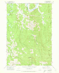
Editions of this 1971 Bill Peak Map
2 editions found
Other maps of this area

1896 · Coos Bay
USGS Topo · 1:125,000

1898 · Coos Bay
USGS Topo · 1:125,000

1899 · Port Orford
USGS Topo · 1:125,000

1900 · Coos Bay
USGS Topo · 1:125,000

1903 · Port Orford
USGS Topo · 1:125,000

1942 · Coquille
USGS Topo · 1:62,500

1943 · Bandon
USGS Topo · 1:62,500

1944 · Bandon
USGS Topo · 1:62,500

1945 · Coquille
USGS Topo · 1:62,500

1954 · Coos Bay
USGS Topo · 1:250,000