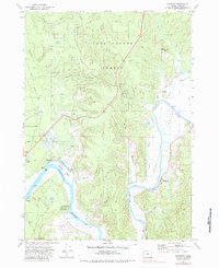
1971 Map of Riverton
USGS Topo · Published 1983About this map
The Coquille River meanders through this portion of Coos County, defining a landscape shaped by coastal wetlands and early riverine settlements. This 1970s-era survey captures the area's agricultural and industrial character, notably the prominent Cranberry Bogs that dot the lowlands near Randolph and Prosper. The presence of several small communities like Riverton and Parkersburg, along with numerous family-named burial grounds such as Russell Cem and Hultin Cem, provides a significant record for local genealogists tracing early families in the region.
Find a feature on this map
53 named features on this map. Tap any name to fly to it.
Don’t see what you’re looking for? This feature index may not catch every label — zoom into the map to look around manually.
Map Details
Editions of this 1971 Riverton Map
2 editions found
Other maps of this area

1896 · Coos Bay
USGS Topo · 1:125,000

1898 · Coos Bay
USGS Topo · 1:125,000

1900 · Coos Bay
USGS Topo · 1:125,000

1942 · Empire
USGS Topo · 1:62,500

1942 · Coquille
USGS Topo · 1:62,500

1942 · Coos Bay
USGS Topo · 1:62,500

1943 · Bandon
USGS Topo · 1:62,500

1944 · Empire
USGS Topo · 1:62,500

1944 · Bandon
USGS Topo · 1:62,500

1945 · Coquille
USGS Topo · 1:62,500