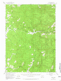
1955 Map of Sitkum
USGS Topo · Published 1981About this map
Sitkum and Dora anchor the drainage of the East Fork Coquille River during the mid-1950s, a period when this Coos County landscape was defined by timber access and river valleys. The map reveals a network of primitive transportation, featuring a prominent Wagon Road and numerous Jeep Trails that penetrate the dense creek systems of Brummitt Creek and Cherry Creek. Local civic life is evidenced by the Cherry Creek School and a series of dedicated parklands like Frona Park and Judge Hamilton Park. High-elevation observation points, including the Brewster Rock Lookout and Kenyon Lookout, overlook a topography of steep ridges and deep canyons. To the south, the settlement of Remote sits near the Middle Fork Coquille River, highlighting the dispersed nature of habitation in these coastal mountains.
Find a feature on this map
48 named features on this map. Tap any name to fly to it.
Don’t see what you’re looking for? This feature index may not catch every label — zoom into the map to look around manually.
Map Details
Editions of this 1955 Sitkum Map
3 editions found

Other maps of this area

1896 · Coos Bay
USGS Topo · 1:125,000

1898 · Coos Bay
USGS Topo · 1:125,000

1899 · Port Orford
USGS Topo · 1:125,000

1900 · Coos Bay
USGS Topo · 1:125,000

1903 · Port Orford
USGS Topo · 1:125,000

1928 · Sitkum
USGS Topo · 1:125,000

1942 · Coquille
USGS Topo · 1:62,500

1942 · Coos Bay
USGS Topo · 1:62,500

1945 · Coquille
USGS Topo · 1:62,500

1945 · Coos Bay
USGS Topo · 1:62,500