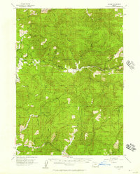
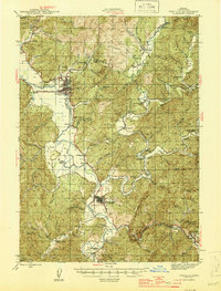
1955 Map of Sitkum
USGS Topo · Published 1957About this map
Sitkum and Dora serve as the primary hubs in this mid-century survey of the Coos County backcountry. The landscape is defined by the winding course of the Middle Fork Coquille River and its numerous tributaries, including Brewster River and Cherry Creek. This era of forest management is evidenced by several fire watch stations, such as Brewster Rock Lookout and Sitkum Lookout, positioned to monitor the vast Umpqua National Forest.
Find a feature on this map
41 named features on this map. Tap any name to fly to it.
Don’t see what you’re looking for? This feature index may not catch every label — zoom into the map to look around manually.
Map Details
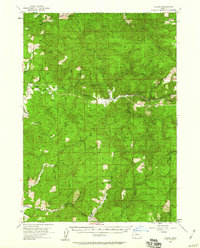
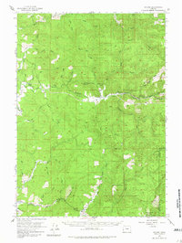
Editions of this 1955 Sitkum Map
3 editions found
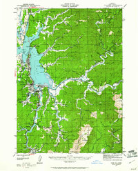
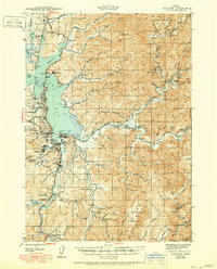
Other maps of this area

1896 · Coos Bay
USGS Topo · 1:125,000

1898 · Coos Bay
USGS Topo · 1:125,000

1899 · Port Orford
USGS Topo · 1:125,000

1900 · Coos Bay
USGS Topo · 1:125,000

1903 · Port Orford
USGS Topo · 1:125,000

1928 · Sitkum
USGS Topo · 1:125,000

1942 · Coquille
USGS Topo · 1:62,500
1942 · Coos Bay
USGS Topo · 1:62,500
1945 · Coquille
USGS Topo · 1:62,500
1945 · Coos Bay
USGS Topo · 1:62,500