
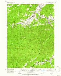
1954 Map of Canyonville
USGS Topo · Published 1956About this map
The Southern Pacific railroad and the Pacific Highway define the industrial corridor through the Umpqua River valley during the mid-1950s. This survey focuses on the rugged timber and mining country of southern Douglas County, where the settlement of Riddle serves as a key hub for rail activity and local commerce. High above the valley floor, the Nickel Mine on Nickel Mtn indicates the area's significant mineral importance, complemented by more isolated operations like the Serena Lodge Mine and Gold Bluff Mine.
Find a feature on this map
64 named features on this map. Tap any name to fly to it.
Don’t see what you’re looking for? This feature index may not catch every label — zoom into the map to look around manually.
Map Details
Editions of this 1954 Canyonville Map
2 editions found
Other maps of this area

1897 · Roseburg
USGS Topo · 1:125,000

1900 · Roseburg
USGS Topo · 1:125,000

1904 · Riddle
USGS Topo · 1:125,000

1928 · Sitkum
USGS Topo · 1:125,000

1946 · Galice
USGS Topo · 1:62,500

1946 · Dutchman Butte
USGS Topo · 1:62,500

1948 · Galice
USGS Topo · 1:62,500

1948 · Dutchman Butte
USGS Topo · 1:62,500

1954 · Dixonville
USGS Topo · 1:62,500

1954 · Days Creek
USGS Topo · 1:62,500