Loading...
Loading map...2022 Map of Wolf Lake
USGS Topo · Published 2022About this map
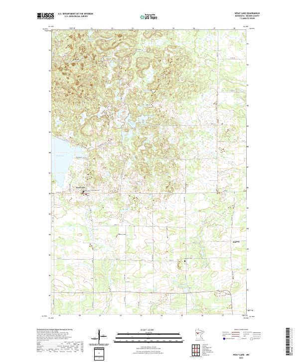
Wolf Lake anchors this portion of Becker County, serving as the primary settlement within a landscape defined by an intricate network of glacial lakes and wetlands. The community is situated at a crossroads where Co Rd 36, Co Rd 40, and Wolf Pack Rd converge, with the Wolf Lake Community Cem nearby. To the east, the smaller settlement of Midway sits along Co Hwy 47, illustrating the dispersed residential pattern of this rural timber and lake district.
Find a feature on this map
47 named features on this map. Tap any name to fly to it.
Don’t see what you’re looking for? This feature index may not catch every label — zoom into the map to look around manually.
Map Details
Date Portrayed2022
Date Published2022
PublisherU.S. Geological Survey
Map TypeTopographic
Scale1:24000
Physical Dimensions24 x 29 inches
Editions of this 2022 Wolf Lake Map
This is the sole edition of this map. No revisions or reprints were ever made.
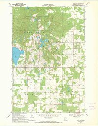
Historical Maps of Midway Through Time
Featured Locations
Source Details
SourceU.S. Geological Survey
CopyrightPublic Domain