Loading...
Loading map...2021 Map of Woodlake
USGS Topo · Published 2021About this map
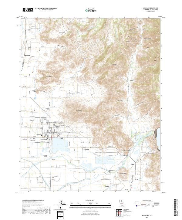
Agricultural irrigation and water management define the landscape surrounding Woodlake in the early 2020s. The convergence of natural and engineered waterways is evident where the Saint Johns River and Kaweah River meet at McKays Point, alongside the industrial reach of the Friant-Kern Canal. This network supports the groves and fields around settlements like Naranjo, Lemon Cove, and Elderwood.
Find a feature on this map
94 named features on this map. Tap any name to fly to it.
Don’t see what you’re looking for? This feature index may not catch every label — zoom into the map to look around manually.
Map Details
Date Portrayed2021
Date Published2021
PublisherU.S. Geological Survey
Map TypeTopographic
Scale1:24000
Physical Dimensions24 x 29 inches
Editions of this 2021 Woodlake Map
This is the sole edition of this map. No revisions or reprints were ever made.
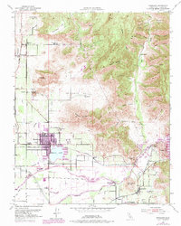
Historical Maps of Saint Johns Through Time
Featured Locations
Source Details
SourceU.S. Geological Survey
CopyrightPublic Domain